
1960 Map of Nabesna B-4
USGS Topo · Published 1964About this map
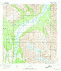
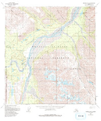
The Nabesna River dominated the central landscape of this interior Alaskan territory at the start of the 1960s, its braided channels carving a wide path through the mountains. Human activity in this wilderness was sparse, marked primarily by isolated Cabins and a lone Cabin located near the headwaters of Jack Creek. The map documents a period when access to the region relied heavily on rugged transportation corridors, such as the Tractor Trail that skirts the river valley and the remote Reeve Field airstrip serving as a vital link to the outside world. To the west, the Raven Hills rise above numerous high-altitude water bodies, including Virginia Lake, Fish Creek Lake, and Whitham Lake, providing a detailed look at the hydrology of the Copper River Meridian before modern developments altered the landscape.
Find a feature on this map
2 named features on this map. Tap any name to fly to it.
Don’t see what you’re looking for? This feature index may not catch every label — zoom into the map to look around manually.
Map Details
Editions of this 1960 Nabesna B-4 Map
3 editions found
Other maps of this area

1950 · Nabesna
USGS Topo · 1:250,000

1951 · Nabesna
USGS Topo · 1:250,000

1954 · Nabesna C-3
USGS Topo · 1:63,360

1955 · Nabesna C-3
USGS Topo · 1:63,360

1957 · Nabesna C-5
USGS Topo · 1:63,360

1959 · Nabesna A-4
USGS Topo · 1:63,360

1959 · Nabesna A-5
USGS Topo · 1:63,360

1960 · Nabesna B-5
USGS Topo · 1:63,360

1960 · Nabesna A-3
USGS Topo · 1:63,360

1960 · Nabesna
USGS Topo · 1:250,000