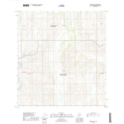
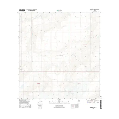
2019 Map of Nabesna B-5 SW
USGS Topo · Published 2019About this map
Wrangell-St. Elias National Park and the adjacent Wrangell-St. Elias National Preserve cover the high-elevation terrain shown here, where the peaks of the Wrangell Mountains dictate the flow of the local watershed. The landscape is defined by its drainage patterns, with Goat Cr and Pass Cr carving through the high country. A small body of water, Sheep Lake, sits south of the major peaks. Human presence in this protected wilderness is represented primarily by the Tanada Lake Trail, which provides a rare point of access through the northern portion of the quadrangle. The map documents the intersection of park and preserve boundaries, showing how federal land designations are applied across this segment of the Alaskan interior.
Find a feature on this map
13 named features on this map. Tap any name to fly to it.
Don’t see what you’re looking for? This feature index may not catch every label — zoom into the map to look around manually.
Map Details
Editions of this 2019 Nabesna B-5 SW Map
This is the sole edition of this map. No revisions or reprints were ever made.
Other maps of this area

1950 · Nabesna
USGS Topo · 1:250,000

1951 · Nabesna
USGS Topo · 1:250,000

1959 · Nabesna A-6
USGS Topo · 1:63,360

1959 · Nabesna A-5
USGS Topo · 1:63,360

1960 · Nabesna B-5
USGS Topo · 1:63,360

1960 · Nabesna
USGS Topo · 1:250,000
1960 · Nabesna B-6
USGS Topo · 1:63,360
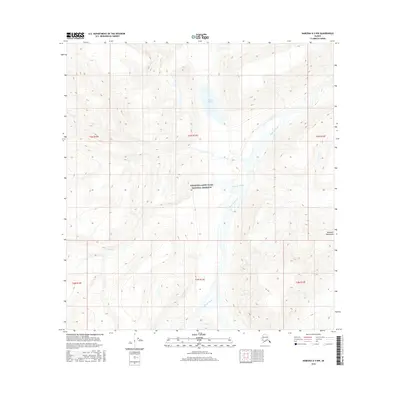
2016 · Nabesna A-5 NW
USGS Topo · 1:25,000
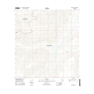
2016 · Nabesna B-5 SE
USGS Topo · 1:25,000
2016 · Nabesna A-5 NE
USGS Topo · 1:25,000