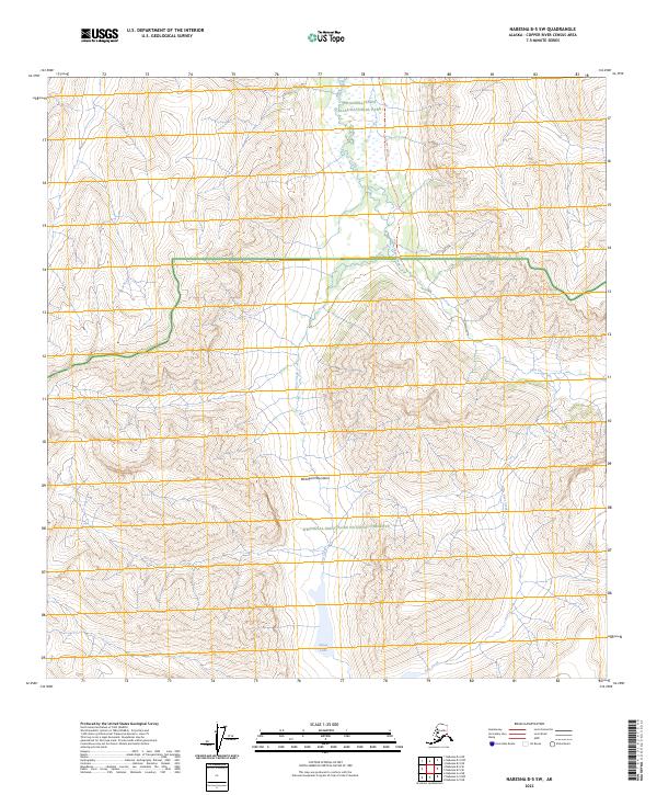
2023 Map of Nabesna B-5 SW
USGS Topo · Published 2023About this map
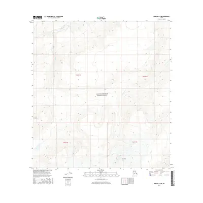
The Wrangell Mountains dominate this high-altitude landscape, where several distinct land management zones converge. This 2023 survey illustrates the boundary line between the Wrangell-Saint Elias National Park to the north and the Wrangell-Saint Elias National Preserve to the south. Further protected designations are seen in the Wrangell-St. Elias Wilderness area, marking this as a region of significant conservation. Steep drainage networks are anchored by high-elevation water bodies including Tanada Lake and Sheep Lake. The terrain is characterized by intricate contouring that defines the glacial and volcanic topography of the range, with numerous small tributaries such as Goat Creek and Pass Creek carving through the valleys. The map provides a contemporary look at these protected interior lands, detailing the specific administrative divisions within one of the nation's largest wilderness complexes.
Find a feature on this map
15 named features on this map. Tap any name to fly to it.
Don’t see what you’re looking for? This feature index may not catch every label — zoom into the map to look around manually.
Map Details
Editions of this 2023 Nabesna B-5 SW Map
This is the sole edition of this map. No revisions or reprints were ever made.
Other maps of this area

1950 · Nabesna
USGS Topo · 1:250,000

1951 · Nabesna
USGS Topo · 1:250,000

1959 · Nabesna A-6
USGS Topo · 1:63,360

1959 · Nabesna A-5
USGS Topo · 1:63,360

1960 · Nabesna B-5
USGS Topo · 1:63,360

1960 · Nabesna
USGS Topo · 1:250,000
1960 · Nabesna B-6
USGS Topo · 1:63,360
2016 · Nabesna A-5 NW
USGS Topo · 1:25,000
2016 · Nabesna B-5 SE
USGS Topo · 1:25,000
2016 · Nabesna A-5 NE
USGS Topo · 1:25,000