
1960 Map of Nabesna B-5
USGS Topo · Published 1965About this map
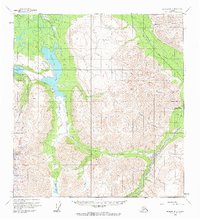
Nabesna and the high peaks of the Wrangell Mountains define this remote interior landscape during the 1950s. The map illustrates a transitional era for transit, where primitive Tractor Trail and Pack Trail routes provided the primary access to mountain outposts like Tanada Lodge. These trails follow the natural drainage of Tanada Creek and Goat Creek, connecting the high alpine waters of Tanada Lake and Copper Lake with the valley floors.
Find a feature on this map
22 named features on this map. Tap any name to fly to it.
Don’t see what you’re looking for? This feature index may not catch every label — zoom into the map to look around manually.
Map Details
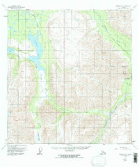
Editions of this 1960 Nabesna B-5 Map
3 editions found
Other maps of this area

1948 · Nabesna C-6
USGS Topo · 1:63,360

1950 · Nabesna
USGS Topo · 1:250,000

1951 · Nabesna
USGS Topo · 1:250,000

1952 · Nabesna C-6
USGS Topo · 1:63,360

1957 · Nabesna C-5
USGS Topo · 1:63,360

1959 · Nabesna A-6
USGS Topo · 1:63,360

1959 · Nabesna A-4
USGS Topo · 1:63,360

1959 · Nabesna A-5
USGS Topo · 1:63,360

1960 · Nabesna B-4
USGS Topo · 1:63,360

1960 · Nabesna
USGS Topo · 1:250,000