
1960 Map of Nabesna C-4
USGS Topo · Published 1966About this map
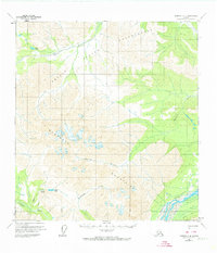
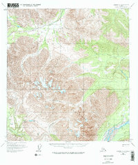
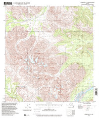
The Indian Reservation and its varied water systems dominate this 1960 survey of interior Alaska. The Nabesna River flows through the southeastern quadrant, while the Tetlin River winds across the northern landscape near Bean Lake. This map captures a remote frontier wilderness defined by its lack of permanent infrastructure, relying instead on a Pack Trail and a Tractor Trail for passage across the rugged landscape. A solitary Cabin near the Nabesna banks provides a rare indicator of human habitation in a region primarily shaped by glacial drainages like the Chestina River, Totschunda Creek, and the aptly named Platinum Creek. The survey reflects a moment when vast tracts of the Copper River Meridian remained unsurveyed and unmarked on the ground, existing as a network of waterways and seasonal routes.
Find a feature on this map
11 named features on this map. Tap any name to fly to it.
Don’t see what you’re looking for? This feature index may not catch every label — zoom into the map to look around manually.
Map Details
Editions of this 1960 Nabesna C-4 Map
4 editions found
Other maps of this area

1948 · Nabesna D-5
USGS Topo · 1:63,360

1950 · Nabesna
USGS Topo · 1:250,000

1950 · Nabesna D-5
USGS Topo · 1:63,360

1951 · Nabesna
USGS Topo · 1:250,000

1952 · Nabesna D-5
USGS Topo · 1:63,360

1954 · Nabesna D-3
USGS Topo · 1:63,360

1954 · Nabesna C-3
USGS Topo · 1:63,360

1954 · Nabesna D-4
USGS Topo · 1:63,360

1955 · Nabesna D-3
USGS Topo · 1:63,360

1955 · Nabesna C-3
USGS Topo · 1:63,360