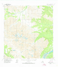
1960 Map of Nabesna C-4
USGS Topo · Published 1974About this map
The Tetlin Indian Reservation dominates the northern reaches of this interior Alaskan landscape, where the Tetlin River meanders through low-lying flats before the terrain rises into the high peaks of the Mentasta Mountains. This area serves as a significant drainage basin for numerous waterways, including the glacial Nabesna River and the Cheslina River. A network of early overland routes, such as the Pack Trail and various unnamed trails, indicates the historical movement through these valleys long before modern infrastructure.
Find a feature on this map
18 named features on this map. Tap any name to fly to it.
Don’t see what you’re looking for? This feature index may not catch every label — zoom into the map to look around manually.
Map Details
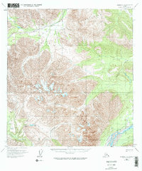
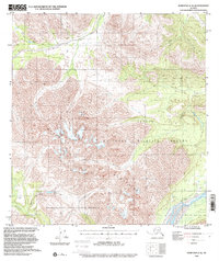
Editions of this 1960 Nabesna C-4 Map
4 editions found

Other maps of this area

1948 · Nabesna D-5
USGS Topo · 1:63,360

1950 · Nabesna
USGS Topo · 1:250,000

1950 · Nabesna D-5
USGS Topo · 1:63,360

1951 · Nabesna
USGS Topo · 1:250,000

1952 · Nabesna D-5
USGS Topo · 1:63,360

1954 · Nabesna D-3
USGS Topo · 1:63,360

1954 · Nabesna C-3
USGS Topo · 1:63,360

1954 · Nabesna D-4
USGS Topo · 1:63,360

1955 · Nabesna D-3
USGS Topo · 1:63,360

1955 · Nabesna C-3
USGS Topo · 1:63,360