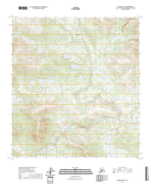
2023 Map of Nabesna D-1 NW
USGS Topo · Published 2023About this map
Northway stands as the primary human presence in this expanse of the Southeast Fairbanks Census Area, situated in a landscape dominated by complex wetlands and braided waterways. The topography is defined by the winding course of Gardner Creek, which meanders through the southern portion of the quadrangle amidst a dense network of marshes and small lakes. This 2023 survey by the U.S. Geological Survey reflects the modern character of this interior Alaska region, where the Public Land Survey System grids of t14n r21e, t14n r22e, t13n r21e, and t13n r22e overlay a wilderness shaped by permafrost and seasonal hydrological shifts. For those studying the geography of the eastern Alaska interior, the map reveals the intricate drainage patterns that dictate travel and land use in this subarctic environment.
Find a feature on this map
6 named features on this map. Tap any name to fly to it.
Don’t see what you’re looking for? This feature index may not catch every label — zoom into the map to look around manually.
Map Details
Editions of this 2023 Nabesna D-1 NW Map
This is the sole edition of this map. No revisions or reprints were ever made.
Other maps of this area

1949 · Tanacross
USGS Topo · 1:250,000

1950 · Tanacross
USGS Topo · 1:250,000

1950 · Nabesna
USGS Topo · 1:250,000

1951 · Nabesna
USGS Topo · 1:250,000

1952 · Nabesna D-1
USGS Topo · 1:63,360

1952 · Tanacross A-1
USGS Topo · 1:63,360

1954 · Tanacross A-2
USGS Topo · 1:63,360

1954 · Nabesna D-2
USGS Topo · 1:63,360

1955 · Tanacross A-2
USGS Topo · 1:63,360

1955 · Nabesna D-2
USGS Topo · 1:63,360