
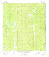
1952 Map of Tanacross A-1
USGS Topo · Published 1958About this map
The United States Canada international border defines the eastern edge of this landscape, documented through aerial photography taken in the early 1950s. This territory within the Alaska Yukon frontier is characterized by high-elevation drainage systems and remote survey points. The northern flow of McArthur Creek and the winding course of Gardiner Creek dominate the interior, their valleys carved between prominent summits such as VABM Bump and VABM Flat.
Find a feature on this map
12 named features on this map. Tap any name to fly to it.
Don’t see what you’re looking for? This feature index may not catch every label — zoom into the map to look around manually.
Map Details
Editions of this 1952 Tanacross A-1 Map
2 editions found
Other maps of this area

1949 · Tanacross
USGS Topo · 1:250,000

1950 · Tanacross
USGS Topo · 1:250,000

1950 · Nabesna
USGS Topo · 1:250,000

1951 · Nabesna
USGS Topo · 1:250,000

1952 · Nabesna D-1
USGS Topo · 1:63,360

1954 · Tanacross A-2
USGS Topo · 1:63,360

1954 · Nabesna D-2
USGS Topo · 1:63,360

1955 · Tanacross A-2
USGS Topo · 1:63,360

1955 · Nabesna D-2
USGS Topo · 1:63,360
1956 · Tanacross B-1
USGS Topo · 1:63,360