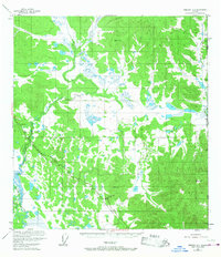
1952 Map of Nabesna D-1
USGS Topo · Published 1967About this map
Chisana River dominates the southwestern corner of this interior Alaskan landscape, which was documented during a period of infrastructure expansion in the early 1950s. The Alaska Highway cuts a distinctive diagonal path across the southern terrain, accompanied by the Alaska Highway Aboveground Pipeline and a Telephone Line. These features reveal the strategic importance of the corridor during the post-war era, providing a vital link through the muskeg and lowlands near the United States Canada border.
Find a feature on this map
14 named features on this map. Tap any name to fly to it.
Don’t see what you’re looking for? This feature index may not catch every label — zoom into the map to look around manually.
Map Details
Editions of this 1952 Nabesna D-1 Map
2 editions found
Other maps of this area

1949 · Tanacross
USGS Topo · 1:250,000

1950 · Tanacross
USGS Topo · 1:250,000

1950 · Nabesna
USGS Topo · 1:250,000

1951 · Nabesna
USGS Topo · 1:250,000

1952 · Nabesna D-1
USGS Topo · 1:63,360

1952 · Tanacross A-1
USGS Topo · 1:63,360

1954 · Tanacross A-2
USGS Topo · 1:63,360

1954 · Nabesna D-2
USGS Topo · 1:63,360

1955 · Nabesna C-1
USGS Topo · 1:63,360

1955 · Nabesna C-2
USGS Topo · 1:63,360