
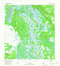
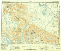
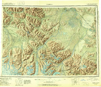
1955 Map of Nabesna D-2
USGS Topo · Published 1979About this map
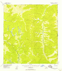
The Northway Airport and its associated radio towers and hangar serve as a focal point for this interior Alaskan landscape, where the Nabesna River and Chisana River converge. The mapping of Northway Indian Village, Kathakne Village, and Charlieskin Village reflects the established Indigenous presence in the region during the mid-20th century. The intricate network of wetlands is punctuated by family-named landmarks and water bodies such as Charlieskin Creek and Tontetheimund Lake.
Find a feature on this map
60 named features on this map. Tap any name to fly to it.
Don’t see what you’re looking for? This feature index may not catch every label — zoom into the map to look around manually.
Map Details
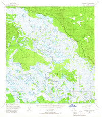
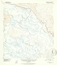
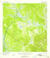
Editions of this 1955 Nabesna D-2 Map
2 editions found
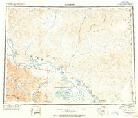
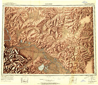
Other maps of this area
1948 · Tanacross A-3
USGS Topo · 1:63,360
1949 · Tanacross
USGS Topo · 1:250,000
1950 · Tanacross
USGS Topo · 1:250,000
1950 · Nabesna
USGS Topo · 1:250,000
1951 · Nabesna
USGS Topo · 1:250,000
1952 · Tanacross A-3
USGS Topo · 1:63,360
1952 · Nabesna D-1
USGS Topo · 1:63,360
1952 · Tanacross A-1
USGS Topo · 1:63,360

1954 · Tanacross A-2
USGS Topo · 1:63,360

1954 · Nabesna D-2
USGS Topo · 1:63,360