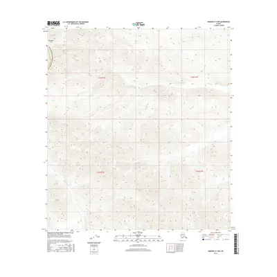
2016 Map of Nabesna D-4 NW
USGS Topo · Published 2016About this map
Meiklejohn Pass stands as the primary landmark in this high-altitude Alaskan landscape, situated along the border of the Southeast Fairbanks Census Area. The terrain is defined by extreme relief and the headwaters of remote alpine streams, including the bifurcating reaches of Mice Cr which cuts through the central sections of the survey. In the southeastern portion, Bear Cr drains the steep slopes, illustrating the drainage patterns of the Wrangell-St. Elias region. This 2016 survey documents the untouched topography of the Alaskan interior, showing a vast area devoid of permanent human settlements or established road networks, where the natural elevation contours are the primary features of interest for those studying the physical geography of the Copper River basin.
Find a feature on this map
4 named features on this map. Tap any name to fly to it.
Don’t see what you’re looking for? This feature index may not catch every label — zoom into the map to look around manually.
Map Details
Editions of this 2016 Nabesna D-4 NW Map
This is the sole edition of this map. No revisions or reprints were ever made.
Other maps of this area

1948 · Tanacross A-4
USGS Topo · 1:63,360

1948 · Nabesna D-5
USGS Topo · 1:63,360

1948 · Tanacross A-5
USGS Topo · 1:63,360

1949 · Tanacross
USGS Topo · 1:250,000

1949 · Tanacross A-5
USGS Topo · 1:63,360

1950 · Tanacross
USGS Topo · 1:250,000

1950 · Nabesna
USGS Topo · 1:250,000

1950 · Nabesna D-5
USGS Topo · 1:63,360

1951 · Nabesna
USGS Topo · 1:250,000

1952 · Tanacross A-4
USGS Topo · 1:63,360