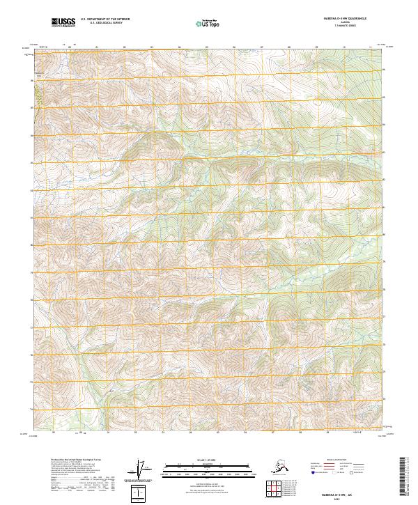
2023 Map of Nabesna D-4 NW
USGS Topo · Published 2023About this map
Meiklejohn Pass stands as a prominent geographic waypoint in this corner of the Southeast Fairbanks Census Area, where the high-altitude terrain of interior Alaska is documented with precision. The map details a complex drainage system defined by the headwaters and winding paths of Mice Creek and Moose Creek, which carve through the elevations of the Nabesna region. The landscape is structured by the Public Land Survey System, showing the intersections of t14n r13e, t14n r14e, t13n r13e, and t13n r14e. This survey provides a clear look at the undeveloped wilderness as it existed in the early 2020s, offering researchers a baseline for studying the natural waterways and mountain passes that dictate movement through this roadless territory.
Find a feature on this map
8 named features on this map. Tap any name to fly to it.
Don’t see what you’re looking for? This feature index may not catch every label — zoom into the map to look around manually.
Map Details
Editions of this 2023 Nabesna D-4 NW Map
This is the sole edition of this map. No revisions or reprints were ever made.
Other maps of this area

1948 · Tanacross A-4
USGS Topo · 1:63,360

1948 · Nabesna D-5
USGS Topo · 1:63,360

1948 · Tanacross A-5
USGS Topo · 1:63,360

1949 · Tanacross
USGS Topo · 1:250,000

1949 · Tanacross A-5
USGS Topo · 1:63,360

1950 · Tanacross
USGS Topo · 1:250,000

1950 · Nabesna
USGS Topo · 1:250,000

1950 · Nabesna D-5
USGS Topo · 1:63,360

1951 · Nabesna
USGS Topo · 1:250,000

1952 · Tanacross A-4
USGS Topo · 1:63,360