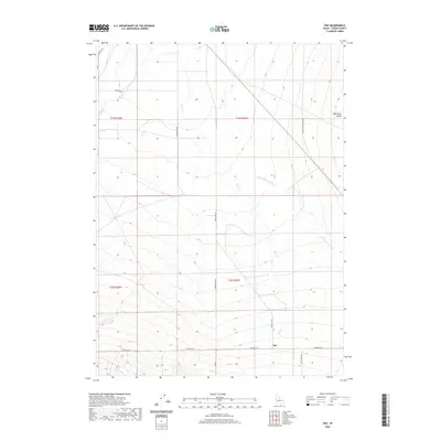
2020 Map of Naf
USGS Topo · Published 2020About this map
The high desert landscape of the Raft River Valley defines this portion of southern Cassia County. At the heart of the region is the small settlement of Naf, positioned where Strevell Rd meets Bridge-Naf Rd. The drainage network is a central feature of the terrain, with Clear Cr and Round Mountain Cr descending toward the Raft River, which cuts across the northeastern corner.
Find a feature on this map
17 named features on this map. Tap any name to fly to it.
Don’t see what you’re looking for? This feature index may not catch every label — zoom into the map to look around manually.
Map Details
Editions of this 2020 Naf Map
This is the sole edition of this map. No revisions or reprints were ever made.
Other maps of this area

1954 · Pocatello
USGS Topo · 1:250,000

1954 · Brigham City
USGS Topo · 1:250,000

1958 · Pocatello
USGS Topo · 1:250,000

1958 · Brigham City
USGS Topo · 1:250,000

1959 · Strevell
USGS Topo · 1:62,500

1959 · Kelton Pass
USGS Topo · 1:62,500

1959 · Park Valley
USGS Topo · 1:62,500

1962 · Brigham City
USGS Topo · 1:250,000

1968 · Kane Canyon
USGS Topo · 1:24,000

1968 · Naf
USGS Topo · 1:24,000