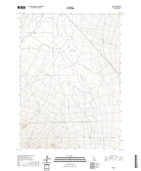
2023 Map of Naf
USGS Topo · Published 2023About this map
The high desert landscape of the Raft River Valley dominates this 2023 survey of south-central Idaho. The small settlement of Naf sits near the southern boundary, positioned at the intersection of several local routes including Strevell Rd and Bridge-Naf Rd. This area is defined by its drainage systems and historical transport corridors, most notably the path of the Old Railroad Grade Rd which cuts diagonally across the eastern terrain. Seasonal and perennial water sources such as Clear Creek, Holt Creek, and Round Mountain Creek wind through the valley floor, indicating the critical role of water management in this arid environment. The map provides a clear picture of modern land divisions and the road network that continues to follow these established natural and man-made landmarks.
Find a feature on this map
14 named features on this map. Tap any name to fly to it.
Don’t see what you’re looking for? This feature index may not catch every label — zoom into the map to look around manually.
Map Details
Editions of this 2023 Naf Map
This is the sole edition of this map. No revisions or reprints were ever made.
Other maps of this area

1954 · Pocatello
USGS Topo · 1:250,000

1954 · Brigham City
USGS Topo · 1:250,000

1958 · Pocatello
USGS Topo · 1:250,000

1958 · Brigham City
USGS Topo · 1:250,000

1959 · Strevell
USGS Topo · 1:62,500

1959 · Kelton Pass
USGS Topo · 1:62,500

1959 · Park Valley
USGS Topo · 1:62,500

1962 · Brigham City
USGS Topo · 1:250,000

1968 · Kane Canyon
USGS Topo · 1:24,000

1968 · Naf
USGS Topo · 1:24,000