Loading...
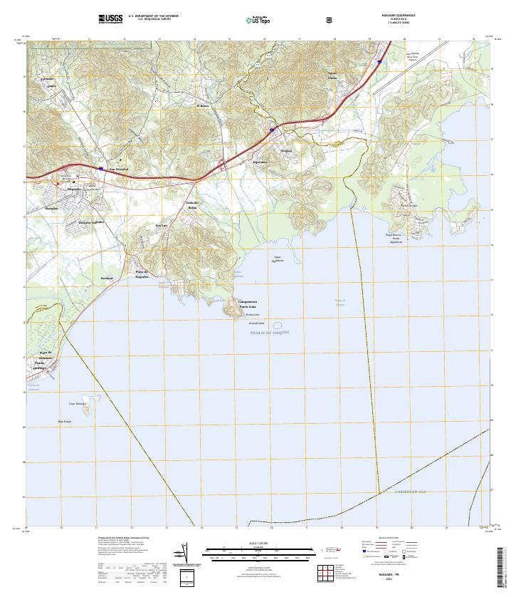
Loading map...2024 Map of Naguabo
USGS Topo · Published 2024About this map
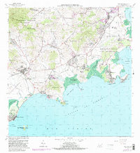
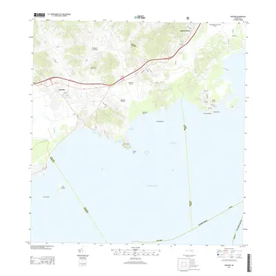
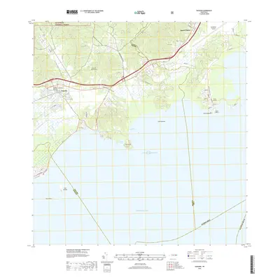
El Yunque National Forest blankets the northern slopes of this region, where numerous streams like Quebrada del Plátano and Quebrada Botija descend toward the coastline. The coastal landscape is defined by the transition from rugged terrain to the Pasaje de Vieques, featuring landmarks such as Punta Lima and the offshore Cayo Santiago. Settlement patterns concentrate along the highway corridors and the shore, notably at Playa de Naguabo and the nearby Viejo Pueblo.
Find a feature on this map
67 named features on this map. Tap any name to fly to it.
Don’t see what you’re looking for? This feature index may not catch every label — zoom into the map to look around manually.
Map Details
Date Portrayed2024
Date Published2024
PublisherU.S. Geological Survey
Map TypeTopographic
Scale1:20,000
Physical Dimensions29 x 33.5 inches
Editions of this 2024 Naguabo Map
This is the sole edition of this map. No revisions or reprints were ever made.
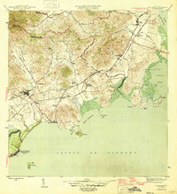
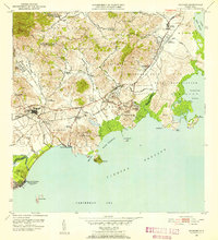
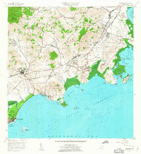
Historical Maps of Naguabo Through Time
7 maps found
Featured Locations
- Naguabo, Naguabo
- San Luis, Naguabo
- Shanghái, Naguabo
- Estación Botija, Naguabo
- Villa del Rosario, Naguabo
Source Details
SourceU.S. Geological Survey
CopyrightPublic Domain