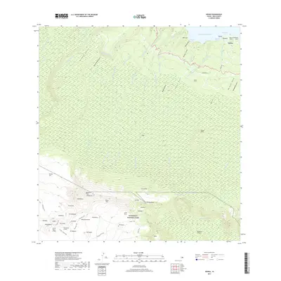
2017 Map of Nahiku
USGS Topo · Published 2017About this map
The coastal settlement of Nāhiku sits at the northern edge of this Maui landscape, where the Pacific Ocean meets a network of steep gulches and perennial streams. Inland, the terrain rises dramatically toward the heights of Haleakalā National Park, encompassing the eastern reaches of the Haleakalā Crater. The map reveals an intricate water management system, featuring the Ko'olau Ditch and engineering works like Pogues Tunnel that divert water through the verdant Ke'anae Valley.
Find a feature on this map
75 named features on this map. Tap any name to fly to it.
Don’t see what you’re looking for? This feature index may not catch every label — zoom into the map to look around manually.
Map Details
Editions of this 2017 Nahiku Map
This is the sole edition of this map. No revisions or reprints were ever made.
Other maps of this area

1954 · Maui
USGS Topo · 1:250,000

1957 · Kilohana
USGS Topo · 1:24,000

1957 · Kipahulu
USGS Topo · 1:24,000

1957 · Hana
USGS Topo · 1:24,000

1957 · Haiku
USGS Topo · 1:24,000

1957 · Lualailua Hills
USGS Topo · 1:24,000

1957 · Nahiku
USGS Topo · 1:24,000

1957 · Kaupo
USGS Topo · 1:24,000

1957 · Keanae
USGS Topo · 1:24,000

1966 · Maui
USGS Topo · 1:250,000