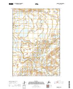
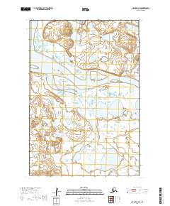
2019 Map of Naknek A-4 NE
USGS Topo · Published 2019About this map
Egegik River winds through the southwestern reaches of this terrain, defining the water-dominated landscape of the Lake and Peninsula Borough. The map reveals an intricate network of wetlands and small water bodies that dominate the interior, illustrating a wilderness environment largely untouched by modern development or road infrastructure. In the southeastern corner, Shosky Cr flows northward, contributing to the complex hydrology of the region. This 2019 survey, based on imagery from the U.S. Geological Survey and the National Hydrography Dataset, provides a detailed look at the shifting shorelines and drainage patterns of the Bristol Bay drainage basin.
Find a feature on this map
8 named features on this map. Tap any name to fly to it.
Don’t see what you’re looking for? This feature index may not catch every label — zoom into the map to look around manually.
Map Details
Editions of this 2019 Naknek A-4 NE Map
This is the sole edition of this map. No revisions or reprints were ever made.
Other maps of this area

1951 · Naknek A-4
USGS Topo · 1:63,360

1951 · Naknek A-3
USGS Topo · 1:63,360

1952 · Naknek
USGS Topo · 1:250,000

1952 · Naknek B-3
USGS Topo · 1:63,360

1952 · Naknek B-4
USGS Topo · 1:63,360

1964 · Naknek
USGS Topo · 1:250,000
2019 · Naknek B-4 SW
USGS Topo · 1:25,000
2019 · Naknek A-3 SW
USGS Topo · 1:25,000
2019 · Naknek B-4 SE
USGS Topo · 1:25,000
2019 · Naknek A-4 NW
USGS Topo · 1:25,000