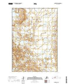
2019 Map of Naknek A-4 SW
USGS Topo · Published 2019About this map
Swampy River meanders across this landscape in the Lake and Peninsula Borough of Alaska, defining a terrain dominated by complex water systems and marshy lowlands. This 2019 survey documents the intricate network of wetlands and small ponds that characterize the region, which remains largely undeveloped and primarily influenced by natural drainage patterns. The map highlights the vast surface hydrography of the Swampy River corridor, a critical feature for understanding the environmental geography and navigational challenges of this remote interior region. For those studying the hydrology of southwest Alaska, the sheet provides a meticulous record of the river's path and its relationship to the surrounding marsh systems.
Find a feature on this map
5 named features on this map. Tap any name to fly to it.
Don’t see what you’re looking for? This feature index may not catch every label — zoom into the map to look around manually.
Map Details
Editions of this 2019 Naknek A-4 SW Map
This is the sole edition of this map. No revisions or reprints were ever made.
Other maps of this area

1943 · Ugashik
USGS Topo · 1:250,000

1948 · Ugashik
USGS Topo · 1:250,000

1949 · Ugashik
USGS Topo · 1:250,000

1951 · Ugashik D-5 and D-6
USGS Topo · 1:63,360

1951 · Ugashik D-4
USGS Topo · 1:63,360

1951 · Naknek A-5
USGS Topo · 1:63,360

1951 · Naknek A-4
USGS Topo · 1:63,360

1952 · Naknek
USGS Topo · 1:250,000

1963 · Ugashik
USGS Topo · 1:250,000

1964 · Naknek
USGS Topo · 1:250,000