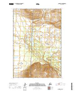
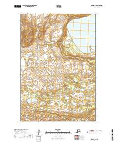
2019 Map of Naknek B-1 NW
USGS Topo · Published 2019About this map
Becharof National Wildlife Refuge and Katmai National Park meet in this undeveloped corner of the Alaska Peninsula, where the landscape is defined by its conservation status rather than human settlement. The boundary between these two major protected areas runs north-to-south through the center of the terrain, marking a transition between managed wildlife habitat and the high-status preservation of the national park system. The map reveals a land without roads or named settlements, organized instead by the Public Land Survey System grids of T19S, T20S, and T21S. This 2019 data illustrates the pristine, roadless character of the Lake and Peninsula Borough, where the focus remains entirely on the preservation of the natural ecosystem and the drainage patterns of the Alaskan wilderness.
Find a feature on this map
8 named features on this map. Tap any name to fly to it.
Don’t see what you’re looking for? This feature index may not catch every label — zoom into the map to look around manually.
Map Details
Editions of this 2019 Naknek B-1 NW Map
This is the sole edition of this map. No revisions or reprints were ever made.
Other maps of this area

1951 · Naknek B-1
USGS Topo · 1:63,360

1951 · Naknek C-1
USGS Topo · 1:63,360

1952 · Naknek
USGS Topo · 1:250,000

1952 · Naknek B-2
USGS Topo · 1:63,360

1952 · Naknek C-2
USGS Topo · 1:63,360

1964 · Naknek
USGS Topo · 1:250,000
2019 · Naknek C-2 SE
USGS Topo · 1:25,000
2019 · Naknek B-1 SE
USGS Topo · 1:25,000
2019 · Naknek C-1 SW
USGS Topo · 1:25,000
2019 · Naknek B-1 NE
USGS Topo · 1:25,000