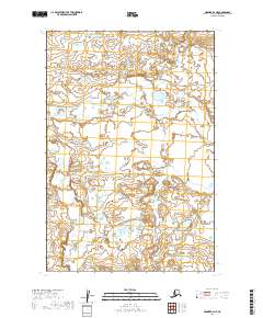
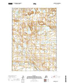
2019 Map of Naknek B-2 NE
USGS Topo · Published 2019About this map
Lake and Peninsula Borough's interior landscape is documented here through a complex network of wetlands and small water bodies that define this part of Alaska. This area is organized by the Public Land Survey System, which establishes the township and range boundaries for T19s R44w, T19s R43w, and T20s R44w. The terrain is characterized by a high density of ponds and marshy areas, particularly evident within T20s R43w and T21s R44w. This 2019 survey, based on imagery from the Spot satellite system, shows a region largely devoid of named settlements or roads, representing the raw hydrography of the Naknek region before further human development or infrastructure reach these sections, including T21s R43w.
Find a feature on this map
6 named features on this map. Tap any name to fly to it.
Don’t see what you’re looking for? This feature index may not catch every label — zoom into the map to look around manually.
Map Details
Editions of this 2019 Naknek B-2 NE Map
This is the sole edition of this map. No revisions or reprints were ever made.
Other maps of this area

1951 · Naknek B-1
USGS Topo · 1:63,360

1951 · Naknek C-1
USGS Topo · 1:63,360

1952 · Naknek
USGS Topo · 1:250,000

1952 · Naknek B-2
USGS Topo · 1:63,360

1952 · Naknek C-2
USGS Topo · 1:63,360

1964 · Naknek
USGS Topo · 1:250,000
2019 · Naknek C-2 SW
USGS Topo · 1:25,000
2019 · Naknek C-2 SE
USGS Topo · 1:25,000
2019 · Naknek C-1 SW
USGS Topo · 1:25,000
2019 · Naknek B-2 SW
USGS Topo · 1:25,000