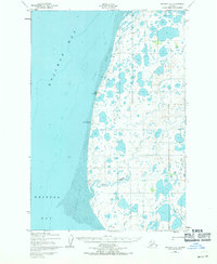
1952 Map of Naknek B-5
USGS Topo · Published 1971About this map
Tidal flats and hundreds of small lakes dominate this coastal landscape on the eastern shore of Kvichak Bay. Mapped in the early 1950s, the terrain reveals a sparsely settled region where seasonal movement was essential. A prominent Winter Trail cuts across the northern landscape, bypassing the marshy coastal reaches to provide a inland route. Coastal navigation is marked by the Middle Bluff Light and the projection of Cape Chichagof. The hydrology is defined by the winding paths of Big Creek and Bishop Creek, which snake through the tundra toward Bristol Bay. These waterways, along with scattered cabins, suggest a landscape utilized for seasonal fishing or trapping, reflecting the traditional subsistence and commercial patterns of the Alaska Peninsula during the mid-century era.
Find a feature on this map
10 named features on this map. Tap any name to fly to it.
Don’t see what you’re looking for? This feature index may not catch every label — zoom into the map to look around manually.
Map Details
Editions of this 1952 Naknek B-5 Map
3 editions found
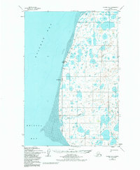
Other maps of this area

1951 · Naknek A-5
USGS Topo · 1:63,360

1951 · Naknek A-4
USGS Topo · 1:63,360

1952 · Naknek
USGS Topo · 1:250,000

1952 · Naknek C-5
USGS Topo · 1:63,360

1952 · Naknek B-4
USGS Topo · 1:63,360

1952 · Naknek B-5
USGS Topo · 1:63,360

1952 · Naknek C-6
USGS Topo · 1:63,360

1952 · Naknek C-4
USGS Topo · 1:63,360

1964 · Naknek
USGS Topo · 1:250,000
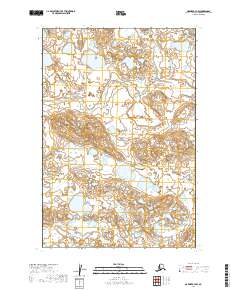
2019 · Naknek B-4 NW
USGS Topo · 1:25,000