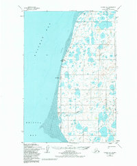
1952 Map of Naknek B-5
USGS Topo · Published 1984About this map
Kvichak Bay and the northern reaches of Bristol Bay dominate this coastal survey, where a vast expanse of Tidal Flats stretches along the shoreline. The transition from marine to terrestrial environments is marked by Cape Chichagof and the isolated Middle Bluffs Light, a critical navigation point for maritime traffic in these Alaskan waters. Inland, the landscape is defined by an intricate network of wetlands and tundra, drained by meandering waterways such as Big Creek and Bishop Creek.
Find a feature on this map
17 named features on this map. Tap any name to fly to it.
Don’t see what you’re looking for? This feature index may not catch every label — zoom into the map to look around manually.
Map Details
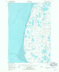
Editions of this 1952 Naknek B-5 Map
3 editions found
Other maps of this area

1951 · Naknek A-5
USGS Topo · 1:63,360

1951 · Naknek A-4
USGS Topo · 1:63,360

1952 · Naknek
USGS Topo · 1:250,000

1952 · Naknek C-5
USGS Topo · 1:63,360

1952 · Naknek B-4
USGS Topo · 1:63,360

1952 · Naknek B-5
USGS Topo · 1:63,360

1952 · Naknek C-6
USGS Topo · 1:63,360

1952 · Naknek C-4
USGS Topo · 1:63,360

1964 · Naknek
USGS Topo · 1:250,000
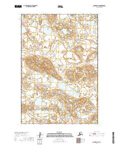
2019 · Naknek B-4 NW
USGS Topo · 1:25,000