
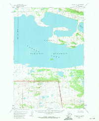
1951 Map of Naknek C-1
USGS Topo · Published 1956About this map
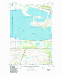
Katmai National Monument dominates the eastern half of this mid-century survey, its borders defined by a straight National Monument Boundary (Approximate) that cuts across the expansive waters of Naknek Lake (North Arm). The landscape is characterized by a complex network of glacial ponds, small islands, and rising topography that transitions from the lake's shoreline into the protected wilderness area. While modern visitors know this region for its volcanic history, this 1951 record focuses on the raw physical geography and early administrative boundaries of the Alaskan interior before more detailed field checks were completed. The lack of human settlements or named structures emphasizes the wild, undisturbed character of the Alaska Peninsula during this era of federal land management.
Find a feature on this map
3 named features on this map. Tap any name to fly to it.
Don’t see what you’re looking for? This feature index may not catch every label — zoom into the map to look around manually.
Map Details
Editions of this 1951 Naknek C-1 Map
3 editions found
Other maps of this area

1948 · Mt Katmai
USGS Topo · 1:250,000

1951 · Mt Katmai
USGS Topo · 1:250,000

1951 · Mount Katmai C-6
USGS Topo · 1:63,360

1951 · Mount Katmai B-6
USGS Topo · 1:63,360

1951 · Naknek D-1
USGS Topo · 1:63,360

1951 · Naknek B-1
USGS Topo · 1:63,360

1951 · Mount Katmai D-6
USGS Topo · 1:63,360

1952 · Naknek
USGS Topo · 1:250,000

1952 · Naknek D-2
USGS Topo · 1:63,360

1952 · Naknek B-2
USGS Topo · 1:63,360