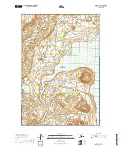
2019 Map of Naknek C-2 NE
USGS Topo · Published 2019About this map
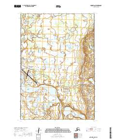
Katmai National Park encompasses a significant portion of this wilderness landscape, where the eastern waters of Naknek Lake feed into the headwaters of the Naknek River. The terrain is characterized by a dense network of wetlands and small lakes that transition into the elevated topography found south of the lake's reach. The presence of Lake Camp Road in the western section of the map indicates a vital point of access to this remote region, connecting the river system to the broader Bristol Bay area. This survey provides a clear view of the hydrological relationship between the lake and the river before it winds westward, illustrating the complex drainage patterns that define this part of the Alaska Peninsula.
Find a feature on this map
10 named features on this map. Tap any name to fly to it.
Don’t see what you’re looking for? This feature index may not catch every label — zoom into the map to look around manually.
Map Details
Editions of this 2019 Naknek C-2 NE Map
This is the sole edition of this map. No revisions or reprints were ever made.
Other maps of this area

1951 · Naknek D-1
USGS Topo · 1:63,360

1951 · Naknek C-1
USGS Topo · 1:63,360

1952 · Naknek
USGS Topo · 1:250,000

1952 · Naknek D-2
USGS Topo · 1:63,360

1952 · Naknek C-2
USGS Topo · 1:63,360

1964 · Naknek
USGS Topo · 1:250,000
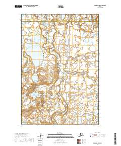
2019 · Naknek C-2 SW
USGS Topo · 1:25,000
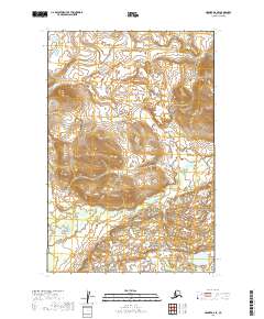
2019 · Naknek D-2 SE
USGS Topo · 1:25,000
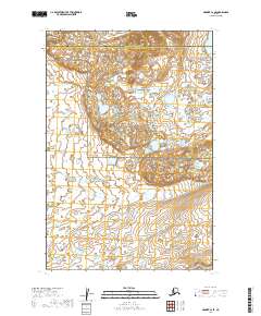
2019 · Naknek C-2 SE
USGS Topo · 1:25,000
2019 · Naknek C-2 NW
USGS Topo · 1:25,000