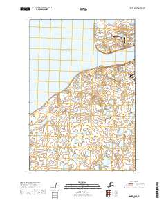
2019 Map of Naknek C-4 NE
USGS Topo · Published 2019About this map
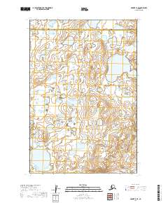
Kvichak Bay dominates this coastal landscape where the Naknek River meets the sea, serving as a critical hub for aviation and maritime access in this part of Bristol Bay. The village of South Naknek sits on the southern bank, characterized by its isolation and reliance on local infrastructure such as the South Naknek Number 2 Airport and South Naknek Airport Road. Across the water, the northern shore features Cape Suworof and a more concentrated aviation network, including Naknek Airport and the smaller Tibbetts Airport. The road names reflect local character and utilitarian functions, from Pooh Street to the Bumble Bee Access Road. Historically significant for its connection to the regional fishing economy, the map also identifies the Naknek Cem located near the river's mouth.
Find a feature on this map
25 named features on this map. Tap any name to fly to it.
Don’t see what you’re looking for? This feature index may not catch every label — zoom into the map to look around manually.
Map Details
Editions of this 2019 Naknek C-4 NE Map
This is the sole edition of this map. No revisions or reprints were ever made.
Other maps of this area

1952 · Naknek
USGS Topo · 1:250,000

1952 · Naknek C-3
USGS Topo · 1:63,360

1952 · Naknek D-3
USGS Topo · 1:63,360

1952 · Naknek D-4
USGS Topo · 1:63,360

1952 · Naknek C-4
USGS Topo · 1:63,360

1964 · Naknek
USGS Topo · 1:250,000
2019 · Naknek C-3 NW
USGS Topo · 1:25,000
2019 · Naknek D-4 SE
USGS Topo · 1:25,000
2019 · Naknek C-4 SW
USGS Topo · 1:25,000
2019 · Naknek C-4 SE
USGS Topo · 1:25,000