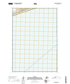
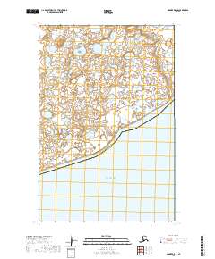
2019 Map of Naknek C-5 NW
USGS Topo · Published 2019About this map
Kvichak Bay dominates this coastal survey, where the waters of the Bristol Bay region meet the southwestern Alaskan shoreline. The map documents a sparsely populated maritime environment defined by the administrative boundary between Dillingham Census Area and the Bristol Bay Borough. This 2019 edition focuses primarily on the hydrography and public land survey system divisions, including t16s r50w, t16s r49w, and t17s r51w. The landscape lacks established road networks or settlements, instead preserving the natural state of the coastline as it was recorded during the late twenty-first century. Researchers of Alaskan geography will find the exact coastal contours and maritime limits of this remote sub-arctic bay meticulously delineated.
Find a feature on this map
5 named features on this map. Tap any name to fly to it.
Don’t see what you’re looking for? This feature index may not catch every label — zoom into the map to look around manually.
Map Details
Editions of this 2019 Naknek C-5 NW Map
This is the sole edition of this map. No revisions or reprints were ever made.
Other maps of this area

1952 · Naknek
USGS Topo · 1:250,000

1952 · Naknek C-5
USGS Topo · 1:63,360

1952 · Naknek C-6
USGS Topo · 1:63,360

1952 · Naknek D-5
USGS Topo · 1:63,360

1952 · Naknek D-6
USGS Topo · 1:63,360

1964 · Naknek
USGS Topo · 1:250,000
2019 · Naknek D-5 SW
USGS Topo · 1:25,000
2019 · Naknek C-6 NE
USGS Topo · 1:25,000
2019 · Naknek C-5 SE
USGS Topo · 1:25,000
2019 · Naknek D-5 SE
USGS Topo · 1:25,000