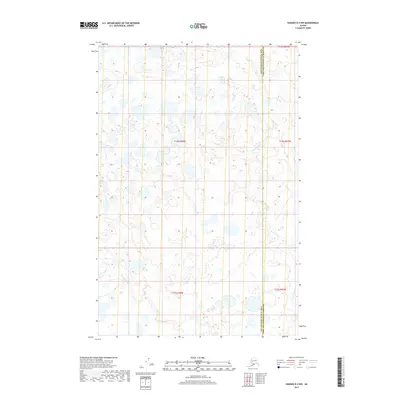
2019 Map of Naknek D-4 NW
USGS Topo · Published 2019About this map
King Salmon Cr winds through this low-lying wetland landscape, illustrating the complex hydrography of the Bristol Bay region. The terrain is defined by a dense network of small ponds and unnamed water bodies that dominate the interior of the quadrangle. Along the eastern edge, Squaw Cr provides a secondary drainage system, while Copenhagen Cr cuts through the southwestern corner. This 2019 survey documents the jurisdictional boundary of the Dillingham Census Area Lake and Peninsula Borough as it traverses this roadless area. The map primarily records the natural water distribution and elevation contours, which reveal the subtle relief of the tundra before these streams eventually reach larger river systems or the coast.
Find a feature on this map
9 named features on this map. Tap any name to fly to it.
Don’t see what you’re looking for? This feature index may not catch every label — zoom into the map to look around manually.
Map Details
Editions of this 2019 Naknek D-4 NW Map
This is the sole edition of this map. No revisions or reprints were ever made.
Other maps of this area

1951 · Dillingham
USGS Topo · 1:250,000

1952 · Naknek
USGS Topo · 1:250,000

1952 · Dillingham A-4
USGS Topo · 1:63,360

1952 · Naknek D-5
USGS Topo · 1:63,360

1952 · Naknek D-4
USGS Topo · 1:63,360

1954 · Dillingham
USGS Topo · 1:250,000

1964 · Naknek
USGS Topo · 1:250,000
2019 · Naknek D-4 SE
USGS Topo · 1:25,000
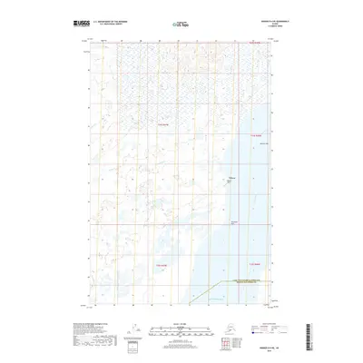
2019 · Naknek D-4 NE
USGS Topo · 1:25,000
2019 · Naknek D-5 NE
USGS Topo · 1:25,000