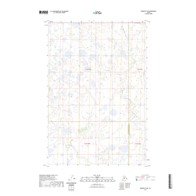
2023 Map of Naknek D-4 NW
USGS Topo · Published 2023About this map
King Salmon Creek meanders through this portion of the Lake and Peninsula Borough and Dillingham Census Area borderlands. The landscape is defined by an intricate network of wetlands and tundra ponds, characteristic of the Bristol Bay region. In the northern and southern reaches of the quadrangle, Sea Gull Creek and Copenhagen Creek provide drainage through the low-lying terrain. This 2023 survey by the U.S. Geological Survey preserves the topographical details of this uninhabited wilderness, where the primary human mark is the administrative boundary line and the survey townships of t14s r48w and t15s r47w. The map serves as a primary source for understanding the hydrography of this remote Alaskan environment.
Find a feature on this map
9 named features on this map. Tap any name to fly to it.
Don’t see what you’re looking for? This feature index may not catch every label — zoom into the map to look around manually.
Map Details
Editions of this 2023 Naknek D-4 NW Map
This is the sole edition of this map. No revisions or reprints were ever made.
Other maps of this area

1951 · Dillingham
USGS Topo · 1:250,000

1952 · Naknek
USGS Topo · 1:250,000

1952 · Dillingham A-4
USGS Topo · 1:63,360

1952 · Naknek D-5
USGS Topo · 1:63,360

1952 · Naknek D-4
USGS Topo · 1:63,360

1954 · Dillingham
USGS Topo · 1:250,000

1964 · Naknek
USGS Topo · 1:250,000
2019 · Naknek D-4 SE
USGS Topo · 1:25,000
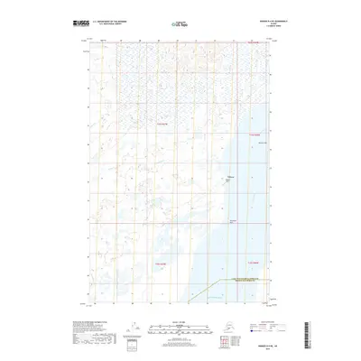
2019 · Naknek D-4 NE
USGS Topo · 1:25,000
2019 · Naknek D-5 NE
USGS Topo · 1:25,000