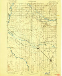
1898 Map of Nampa
USGS Topo · Published 1916About this map
Caldwell and Nampa anchor this late 19th-century landscape where Idaho's agricultural foundations were being carved into the desert. The territory is defined by an intricate network of irrigation systems, including the Ridenbaugh Canal, Noble Canal, and the Keller Ditch, which redirected the waters of the Payette River and Boise River to support new settlements. This 1891 survey, published in 1916, documents the arrival of the Oregon Short Line and several branch lines that connected remote outposts like Homedale and New Plymouth to the regional economy. Between the river valleys lies the expansive Deer Flat, a region transitioning from raw terrain into productive farmland. For researchers, the map provides precise locations for early landmarks such as Falks Store, Gravelly Point, and the Mill near Middleton, showing the specific sites of industry and commerce at the turn of the century.
Find a feature on this map
62 named features on this map. Tap any name to fly to it.
Don’t see what you’re looking for? This feature index may not catch every label — zoom into the map to look around manually.
Map Details
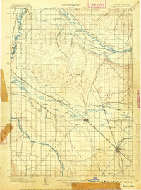
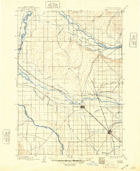
Editions of this 1898 Nampa Map
4 editions found
Other maps of this area

1892 · Boise
USGS Topo · 1:125,000

1892 · Bisuka
USGS Topo · 1:125,000

1892 · Silver City
USGS Topo · 1:125,000

1894 · Bisuka
USGS Topo · 1:125,000

1894 · Silver City
USGS Topo · 1:125,000

1894 · Squaw Creek
USGS Topo · 1:125,000

1897 · Boise
USGS Topo · 1:125,000

1897 · Weiser
USGS Topo · 1:125,000

1898 · Nampa
USGS Topo · 1:125,000

1898 · Silver City
USGS Topo · 1:125,000