
1898 Map of Nampa
USGS Topo · Published 1898About this map
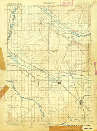
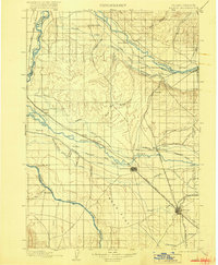
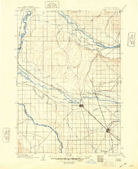
The Oregon Short Line and Boise Branch railroads anchor this late nineteenth-century portrait of the Treasure Valley, where an extensive network of human-made waterways transformed the arid landscape. The expansion of irrigation is evident through numerous major projects, including the Payette Valley Irrigation Canal, the Reed Canal, and the Phyllis Canal, which distribute water from the Payette River and Boise River across the flatlands.
Find a feature on this map
58 named features on this map. Tap any name to fly to it.
Don’t see what you’re looking for? This feature index may not catch every label — zoom into the map to look around manually.
Map Details
Editions of this 1898 Nampa Map
4 editions found
Other maps of this area

1892 · Boise
USGS Topo · 1:125,000

1892 · Bisuka
USGS Topo · 1:125,000

1892 · Silver City
USGS Topo · 1:125,000

1894 · Bisuka
USGS Topo · 1:125,000

1894 · Silver City
USGS Topo · 1:125,000

1894 · Squaw Creek
USGS Topo · 1:125,000

1897 · Boise
USGS Topo · 1:125,000

1897 · Weiser
USGS Topo · 1:125,000

1898 · Silver City
USGS Topo · 1:125,000

1906 · Mitchell Butte
USGS Topo · 1:125,000