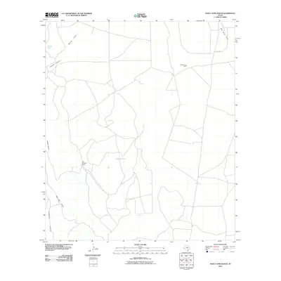
2010 Map of Nancy Anne Ranch
USGS Topo · Published 2010About this map
Sierra Vieja anchors the southwestern corner of this Presidio County landscape, where the terrain is defined by a network of seasonal watercourses and remote ranching outposts. The map reveals the infrastructure of high-desert livestock operations in the early 21st century, centered on sites like Nancy Anne Ranch and Old Chilicote Ranch. Water management is critical in this arid environment, evidenced by the presence of North Tank and Durazno Tank, which collect runoff from the surrounding highlands. Drainage patterns are dominated by deep incisions such as Howard Canyon and a series of ephemeral channels including Walnut Draw, Red Mill Draw, and Wild Horse Creek. A single primary route, Old Brite Rd, provides access to these isolated properties, illustrating the persistent isolation and specialized land use of the Trans-Pecos region.
Find a feature on this map
11 named features on this map. Tap any name to fly to it.
Don’t see what you’re looking for? This feature index may not catch every label — zoom into the map to look around manually.
Map Details
Editions of this 2010 Nancy Anne Ranch Map
This is the sole edition of this map. No revisions or reprints were ever made.
Other maps of this area

1892 · Chispa
USGS Topo · 1:125,000

1894 · Valentine
USGS Topo · 1:125,000

1895 · Chispa
USGS Topo · 1:125,000

1895 · Marfa
USGS Topo · 1:125,000

1896 · San Carlos
USGS Topo · 1:125,000

1897 · Valentine
USGS Topo · 1:125,000

1897 · Chispa
USGS Topo · 1:125,000

1943 · Valentine
USGS Topo · 1:125,000

1959 · Marfa
USGS Topo · 1:250,000

1965 · Marfa
USGS Topo · 1:250,000