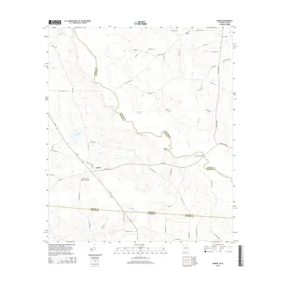
2014 Map of Nankin
USGS Topo · Published 2014About this map
Nankin stands at the heart of this coastal plain landscape, where the winding course of the Withlacoochee River forms a natural boundary between Brooks and Lowndes counties. This riverine geography is punctuated by significant local landmarks like Godwin Bluff and various water bodies including Fearnside Lake and Montgomery Pond. The presence of several historic burial sites, such as Redland Cem and the Wade Cem, provides valuable points of reference for genealogists tracking early families in the region.
Find a feature on this map
58 named features on this map. Tap any name to fly to it.
Don’t see what you’re looking for? This feature index may not catch every label — zoom into the map to look around manually.
Map Details
Editions of this 2014 Nankin Map
This is the sole edition of this map. No revisions or reprints were ever made.
Other maps of this area

1954 · Valdosta
USGS Topo · 1:250,000

1956 · Clyattville
USGS Topo · 1:24,000

1956 · Nankin
USGS Topo · 1:24,000

1956 · Baden
USGS Topo · 1:24,000

1958 · Valdosta
USGS Topo · 1:250,000

1959 · Valdosta
USGS Topo · 1:250,000

1960 · Cherry Lake
USGS Topo · 1:24,000

1960 · Pinetta
USGS Topo · 1:24,000

1961 · Quitman
USGS Topo · 1:62,500

1961 · Valdosta
USGS Topo · 1:24,000