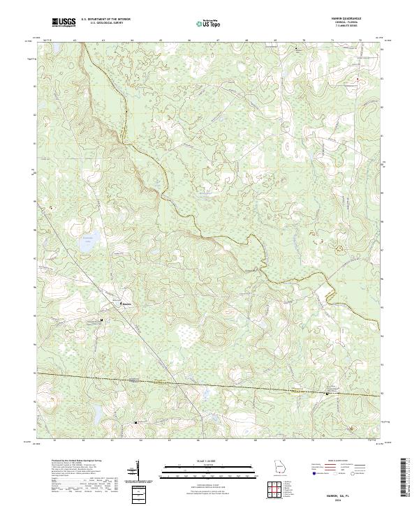
2024 Map of Nankin
USGS Topo · Published 2024About this map
The Withlacoochee River carves a winding path through the borderlands of Georgia and Florida, anchoring a landscape of blackwater wetlands and family landholdings. This 2024 survey of the Nankin area highlights a community defined by its spiritual and ancestral roots, evidenced by several well-maintained burial grounds including the Columbia Primitive Baptist Church Cem and Wade Cem. The terrain shifts from the low-lying basins of Mud Lake and Fearnside Lake to the more prominent Godwin Bluff overlooking the river bends.
Find a feature on this map
61 named features on this map. Tap any name to fly to it.
Don’t see what you’re looking for? This feature index may not catch every label — zoom into the map to look around manually.
Map Details
Editions of this 2024 Nankin Map
This is the sole edition of this map. No revisions or reprints were ever made.
Other maps of this area

1954 · Valdosta
USGS Topo · 1:250,000

1956 · Clyattville
USGS Topo · 1:24,000

1956 · Nankin
USGS Topo · 1:24,000

1956 · Baden
USGS Topo · 1:24,000

1958 · Valdosta
USGS Topo · 1:250,000

1959 · Valdosta
USGS Topo · 1:250,000

1960 · Cherry Lake
USGS Topo · 1:24,000

1960 · Pinetta
USGS Topo · 1:24,000

1961 · Quitman
USGS Topo · 1:62,500

1961 · Valdosta
USGS Topo · 1:24,000