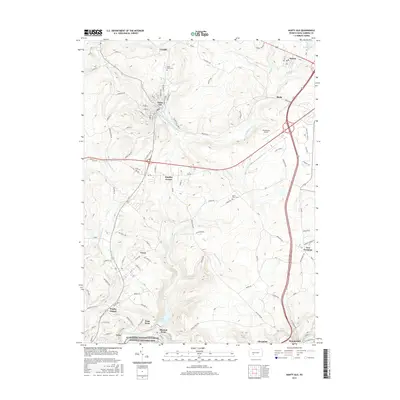
2016 Map of Nanty Glo
USGS Topo · Published 2016About this map
Allegheny Portage Railroad National Historic Site anchors the southern edge of this landscape, marking the historic transition point between the Little Conemaugh River valley and the upland ridges. The terrain is defined by the winding paths of the South Branch Blacklick Creek and the S Br Blacklick Cr, which carve through the plateau between Nanty Glo and Revloc.
Find a feature on this map
99 named features on this map. Tap any name to fly to it.
Don’t see what you’re looking for? This feature index may not catch every label — zoom into the map to look around manually.
Map Details
Editions of this 2016 Nanty Glo Map
This is the sole edition of this map. No revisions or reprints were ever made.
Other maps of this area

1902 · Ebensburg
USGS Topo · 1:62,500

1902 · Patton
USGS Topo · 1:62,500

1902 · Barnesboro
USGS Topo · 1:62,500

1904 · Barnesboro
USGS Topo · 1:62,500

1904 · Patton
USGS Topo · 1:62,500

1904 · Ebensburg
USGS Topo · 1:62,500

1904 · Johnstown
USGS Topo · 1:62,500

1907 · Johnstown
USGS Topo · 1:62,500

1943 · Punxsutawney
USGS Topo · 1:125,000

1953 · Pittsburgh
USGS Topo · 1:250,000
Featured Places
- Nanty Glo, PA
- Summerhill, PA
- Mineral Point, East Taylor Township
- Beula, Cambria Township
- Revloc, Cambria Township