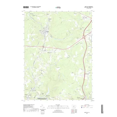
2019 Map of Nanty Glo
USGS Topo · Published 2019About this map
Nanty-Glo and the surrounding coal-country settlements of Twin Rocks, Cardiff, and Revloc occupy a landscape defined by the deep valleys of the South Branch Blacklick Creek and its many tributaries. This 2019 survey captures a complex cultural layer of the Allegheny Front, where small towns are densely packed with religious and community landmarks. The sheer number of denominational cemeteries, such as the First Finnish Lutheran Cem and Holy Ascension Ukrainian Orthodox Church Cem, reflects the diverse European immigrant groups that settled here to work the mines and railroads. Along the southern edge of the sheet, the Allegheny Portage Railroad National Historic Site preserves the corridor of the mid-19th-century engineering feat that linked the state's canal systems, crossing the drainage divide near Mineral Point and West Point. Modern infrastructure like the Ebensburg Airport and major highway junctions at Mundys Corner now overlay these older transit patterns.
Find a feature on this map
134 named features on this map. Tap any name to fly to it.
Don’t see what you’re looking for? This feature index may not catch every label — zoom into the map to look around manually.
Map Details
Editions of this 2019 Nanty Glo Map
This is the sole edition of this map. No revisions or reprints were ever made.
Other maps of this area

1902 · Ebensburg
USGS Topo · 1:62,500

1902 · Patton
USGS Topo · 1:62,500

1902 · Barnesboro
USGS Topo · 1:62,500

1904 · Barnesboro
USGS Topo · 1:62,500

1904 · Patton
USGS Topo · 1:62,500

1904 · Ebensburg
USGS Topo · 1:62,500

1904 · Johnstown
USGS Topo · 1:62,500

1907 · Johnstown
USGS Topo · 1:62,500

1943 · Punxsutawney
USGS Topo · 1:125,000

1953 · Pittsburgh
USGS Topo · 1:250,000
Featured Places
- Nanty Glo, PA
- Summerhill, PA
- Mineral Point, East Taylor Township
- Beula, Cambria Township
- Revloc, Cambria Township