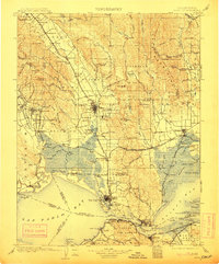
1902 Map of Napa
USGS Topo · Published 1913About this map
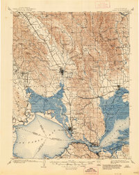
Mare Island Navy Yard and the U.S. Arsenal dominate the southern maritime landscape of this turn-of-the-century survey, anchoring the industrial and military activity where the Napa River meets the Carquinez Strait. The map reveals a region defined by early viticulture and institutional development, with Napa Soda Springs and the Veterans Home established in the foothills. The complex network of the Southern Pacific and the Calistoga Branch railroads underscores the importance of freight and passenger transit between the valley and the bay.
Find a feature on this map
161 named features on this map. Tap any name to fly to it.
Don’t see what you’re looking for? This feature index may not catch every label — zoom into the map to look around manually.
Map Details
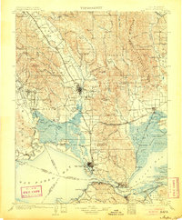
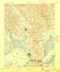
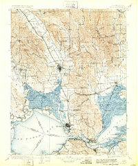
Editions of this 1902 Napa Map
6 editions found
Other maps of this area

1895 · San Francisco
USGS Topo · 1:62,500

1896 · Carquinez Strait
USGS Topo · 1:62,500

1896 · Mt. Diablo
USGS Topo · 1:62,500

1897 · Concord
USGS Topo · 1:62,500

1897 · Tamalpais
USGS Topo · 1:62,500

1898 · Karquines
USGS Topo · 1:62,500

1898 · Mt. Diablo
USGS Topo · 1:62,500

1899 · San Francisco
USGS Topo · 1:62,500

1901 · Karquines
USGS Topo · 1:62,500

1902 · Napa
USGS Topo · 1:125,000