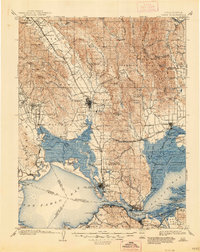
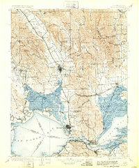
1902 Map of Napa
USGS Topo · Published 1947About this map
The Napa River serves as the central artery for this late 19th-century landscape, winding through a valley already defined by its burgeoning viticulture and early institutional development. Large land grants such as Caymus, Tulucay, and Entre Napa suggest the region's transition from Mexican ranchos to American agricultural and industrial hubs. Rail infrastructure is dense, with the Southern Pacific R. R. and the Calistoga Branch connecting key settlements like St. Helena, Yountville, and Napa.
Find a feature on this map
168 named features on this map. Tap any name to fly to it.
Don’t see what you’re looking for? This feature index may not catch every label — zoom into the map to look around manually.
Map Details
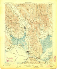
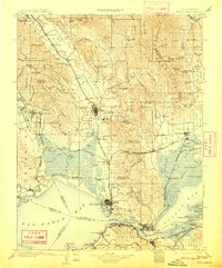
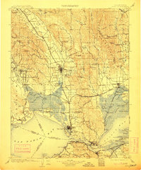
Editions of this 1902 Napa Map
6 editions found
Other maps of this area

1895 · San Francisco
USGS Topo · 1:62,500

1896 · Carquinez Strait
USGS Topo · 1:62,500

1896 · Mt. Diablo
USGS Topo · 1:62,500

1897 · Concord
USGS Topo · 1:62,500

1897 · Tamalpais
USGS Topo · 1:62,500

1898 · Karquines
USGS Topo · 1:62,500

1898 · Mt. Diablo
USGS Topo · 1:62,500

1899 · San Francisco
USGS Topo · 1:62,500

1901 · Karquines
USGS Topo · 1:62,500

1902 · Napa
USGS Topo · 1:125,000