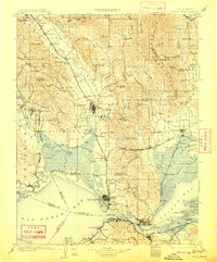
1902 Map of Napa
USGS Topo · Published 1909About this map
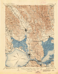
The agricultural and maritime heart of the North Bay is defined by the Napa River and the complex tidal network of Suisun Bay at the turn of the century. This survey, conducted in the late 1890s, documents a landscape of expanding viticulture and strategic naval importance. The southern waterfront is anchored by the Mare Island Navy Yard and the South Vallejo rail terminus, while the northern valleys are dotted with established wine-growing settlements like St. Helena, Zinfandel, and Rutherford. Prominent institutional landmarks include the Veterans Home near Yountville and the Insane Asylum southeast of Napa. The map captures the industrial density along the Carquinez Strait, where towns like Crockett, Port Costa, and Valona served as vital nodes for the Southern Pacific and the San Francisco and San Joaquin Valley R. R.
Find a feature on this map
122 named features on this map. Tap any name to fly to it.
Don’t see what you’re looking for? This feature index may not catch every label — zoom into the map to look around manually.
Map Details
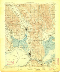
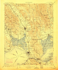
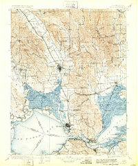
Editions of this 1902 Napa Map
6 editions found
Other maps of this area

1895 · San Francisco
USGS Topo · 1:62,500

1896 · Carquinez Strait
USGS Topo · 1:62,500

1896 · Mt. Diablo
USGS Topo · 1:62,500

1897 · Concord
USGS Topo · 1:62,500

1897 · Tamalpais
USGS Topo · 1:62,500

1898 · Karquines
USGS Topo · 1:62,500

1898 · Mt. Diablo
USGS Topo · 1:62,500

1899 · San Francisco
USGS Topo · 1:62,500

1901 · Karquines
USGS Topo · 1:62,500

1902 · Napa
USGS Topo · 1:125,000