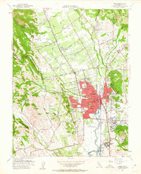
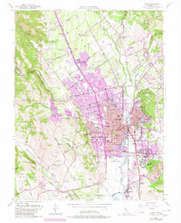
1951 Map of Napa
USGS Topo · Published 1963About this map
Napa Valley agriculture and early mid-century expansion define this 1951 survey, where sprawling orchards and vineyards are divided by historic routes like the Silverado Trail and Trubody Lane. The city of Napa is the central hub, surrounded by smaller settlements such as Salvador, Union, and Oak Knoll. To the south, the Napa State Hospital at Imola and the industrial activity at Shipyard Acres near the Napa River show the diversification of the local economy beyond viticulture.
Find a feature on this map
66 named features on this map. Tap any name to fly to it.
Don’t see what you’re looking for? This feature index may not catch every label — zoom into the map to look around manually.
Map Details
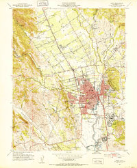
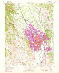
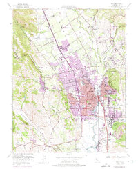
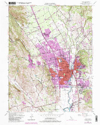
Editions of this 1951 Napa Map
6 editions found
Other maps of this area

1896 · Carquinez Strait
USGS Topo · 1:62,500

1898 · Karquines
USGS Topo · 1:62,500

1901 · Karquines
USGS Topo · 1:62,500

1902 · Napa
USGS Topo · 1:125,000

1916 · Mare Island
USGS Topo · 1:62,500

1921 · Mt. Vaca
USGS Topo · 1:62,500

1940 · Carquinez Strait
USGS Topo · 1:62,500

1942 · Mare Island
USGS Topo · 1:62,500

1942 · Carquinez
USGS Topo · 1:62,500

1942 · Sonoma
USGS Topo · 1:62,500