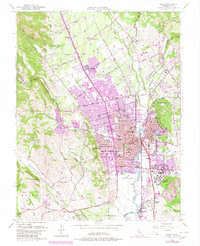
1951 Map of Napa
USGS Topo · Published 1980About this map
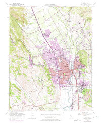
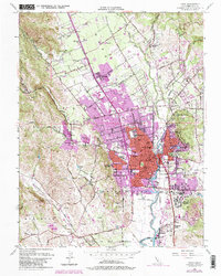
The Napa River serves as the central artery for this valley landscape, which transitions from the urban density of Napa and Imola to the expansive vineyards and orchards of the north. Significant land grants like the Rincon de los Carneros define the historical property lines in the southwest, while the extensive grounds of the Napa State Hospital (Imola PO) and the Napa Municipal Golf Course occupy the southern valley floor. The map highlights the early development of Vichy Springs and the rural clusters at Oak Knoll and Salvador. To the west, the terrain rises sharply into Redwood Canyon and Browns Valley, where small community centers like the Browns Valley School are tucked into the foothills. Industrial and civic landmarks, including the Juarez Old Adobe and the Southern Pacific rail line, reflect a region balancing its agricultural roots with growing residential hubs like Shipyard Acres and Union.
Find a feature on this map
83 named features on this map. Tap any name to fly to it.
Don’t see what you’re looking for? This feature index may not catch every label — zoom into the map to look around manually.
Map Details
Editions of this 1951 Napa Map
6 editions found
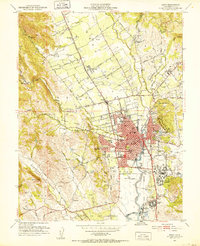
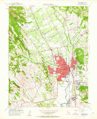
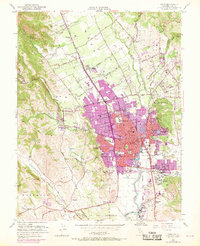
Other maps of this area

1896 · Carquinez Strait
USGS Topo · 1:62,500

1898 · Karquines
USGS Topo · 1:62,500

1901 · Karquines
USGS Topo · 1:62,500

1902 · Napa
USGS Topo · 1:125,000

1916 · Mare Island
USGS Topo · 1:62,500

1921 · Mt. Vaca
USGS Topo · 1:62,500

1940 · Carquinez Strait
USGS Topo · 1:62,500

1942 · Mare Island
USGS Topo · 1:62,500

1942 · Carquinez
USGS Topo · 1:62,500

1942 · Sonoma
USGS Topo · 1:62,500