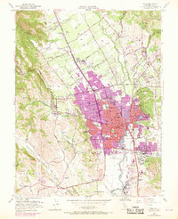
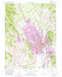
1951 Map of Napa
USGS Topo · Published 1969About this map
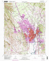
The Napa River serves as the central artery for this mid-century valley landscape, where the established city of Napa transitions into a patchwork of orchards and vineyards. To the southeast, the expansive grounds of the Napa State Hospital (Imola PO) at Imola stand near Tulocay Cemetery, while landmarks like the Juarez Old Adobe reflect the area’s earlier heritage. The map documents a period of postwar expansion, with purple revisions highlighting growing residential tracts near Westwood School and Bel Aire School. Transport and leisure infrastructure is well-represented, from the Southern Pacific rail lines to the Silverado Country Club and Napa Valley Country Club. In the surrounding hills and canyons, features like Vichy Springs, Milliken Peak, and the U.S. Naval Reservation define the periphery of this viticultural region during its mid-20th-century development.
Find a feature on this map
113 named features on this map. Tap any name to fly to it.
Don’t see what you’re looking for? This feature index may not catch every label — zoom into the map to look around manually.
Map Details
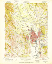
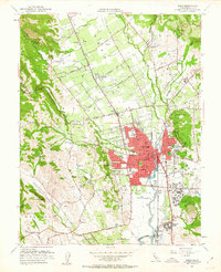
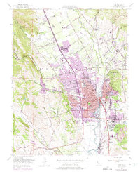
Editions of this 1951 Napa Map
6 editions found
Other maps of this area

1896 · Carquinez Strait
USGS Topo · 1:62,500

1898 · Karquines
USGS Topo · 1:62,500

1901 · Karquines
USGS Topo · 1:62,500

1902 · Napa
USGS Topo · 1:125,000

1916 · Mare Island
USGS Topo · 1:62,500

1921 · Mt. Vaca
USGS Topo · 1:62,500

1940 · Carquinez Strait
USGS Topo · 1:62,500

1942 · Mare Island
USGS Topo · 1:62,500

1942 · Carquinez
USGS Topo · 1:62,500

1942 · Sonoma
USGS Topo · 1:62,500