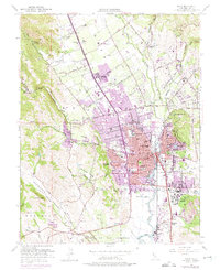
1951 Map of Napa
USGS Topo · Published 1975About this map
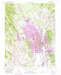
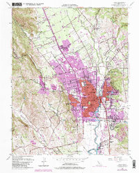
The Napa River serves as the central artery for this mid-century valley landscape, where the established city of Napa meets a rapidly expanding agricultural and industrial corridor. The map highlights significant institutional landmarks such as the Napa State Hospital and the historic Juarez Old Adobe, reflecting the region's deep roots and state-level infrastructure. Urban growth is visible in the purple-tinted photorevisions, showing residential expansion into Browns Valley and northward toward Salvador and Oak Knoll.
Find a feature on this map
101 named features on this map. Tap any name to fly to it.
Don’t see what you’re looking for? This feature index may not catch every label — zoom into the map to look around manually.
Map Details
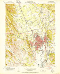
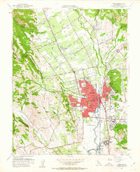
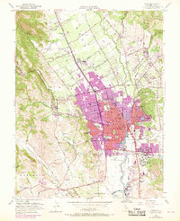
Editions of this 1951 Napa Map
6 editions found
Other maps of this area

1896 · Carquinez Strait
USGS Topo · 1:62,500

1898 · Karquines
USGS Topo · 1:62,500

1901 · Karquines
USGS Topo · 1:62,500

1902 · Napa
USGS Topo · 1:125,000

1916 · Mare Island
USGS Topo · 1:62,500

1921 · Mt. Vaca
USGS Topo · 1:62,500

1940 · Carquinez Strait
USGS Topo · 1:62,500

1942 · Mare Island
USGS Topo · 1:62,500

1942 · Carquinez
USGS Topo · 1:62,500

1942 · Sonoma
USGS Topo · 1:62,500