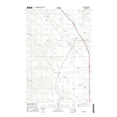
2017 Map of Napavine
USGS Topo · Published 2017About this map
The Napavine settlement and its surrounding prairies dominate this landscape in Lewis County, Washington. Situated along the corridor between the Newaukum River and Olequa Cr, the area's development follows the established transport routes of the Pacific Northwest. The map highlights the distinct geographic character of the region, where elevated points like Newaukum Hill overlook the agricultural and residential expanses of Newaukum Prairie, Napavine Prairie, and Grand Prairie.
Find a feature on this map
106 named features on this map. Tap any name to fly to it.
Don’t see what you’re looking for? This feature index may not catch every label — zoom into the map to look around manually.
Map Details
Editions of this 2017 Napavine Map
This is the sole edition of this map. No revisions or reprints were ever made.
Other maps of this area

1916 · Chehalis
USGS Topo · 1:125,000

1941 · Meskill
USGS Topo · 1:62,500

1941 · Olequa
USGS Topo · 1:62,500

1953 · Hoquiam
USGS Topo · 1:250,000

1953 · Castle Rock
USGS Topo · 1:62,500

1953 · Ryderwood
USGS Topo · 1:62,500

1953 · Adna
USGS Topo · 1:62,500

1954 · Centralia
USGS Topo · 1:62,500

1957 · Hoquiam
USGS Topo · 1:250,000

1958 · Hoquiam
USGS Topo · 1:250,000