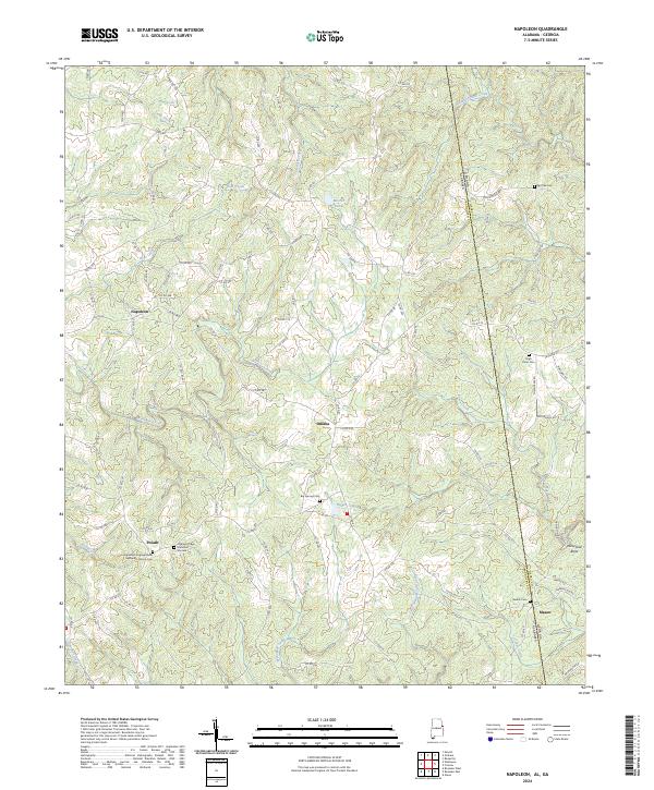
2024 Map of Napoleon
USGS Topo · Published 2024About this map
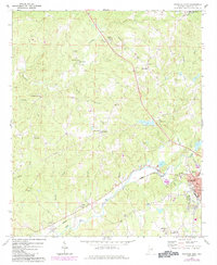
Napoleon and Omaha anchor the rural landscape of eastern Alabama near the Georgia border, where the terrain is defined by the winding paths of Wedowee Creek and Hillabahatchee Creek. This 2024 survey captures a network of small agricultural and residential clusters connected by a dense grid of county roads, such as Co RD 486 and Co RD 518. The southern portion of the map near Potash is particularly dense with community landmarks, including the Highway Congregational Methodist Church Cem and Highway Ridge Memorial Gardens. A transition in topography is evident at Highway Ridge, while the eastern edge follows the Heard and Randolph county line. Genealogists will find a significant concentration of burial sites throughout the quadrangle, from the Red Oak Cem in the northeast to the Beulah Cem near Mason.
Find a feature on this map
105 named features on this map. Tap any name to fly to it.
Don’t see what you’re looking for? This feature index may not catch every label — zoom into the map to look around manually.
Map Details
Editions of this 2024 Napoleon Map
This is the sole edition of this map. No revisions or reprints were ever made.
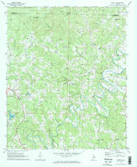
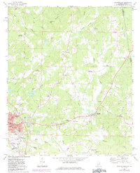
Historical Maps of Napoleon Through Time
16 maps found
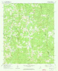
1969 Napoleon
Randolph County, AL
1969 Newell
Randolph County, AL
1969 Roanoke East
Randolph County, AL
1969 Roanoke West
Randolph County, AL
1969 Wadley North
Randolph County, AL
1970 Micaville
Randolph County, AL
1970 Ofelia
Randolph County, AL
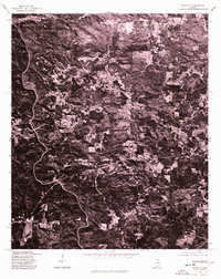
1975 Micaville
Randolph County, AL
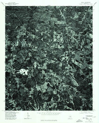
1975 Newell
Randolph County, AL
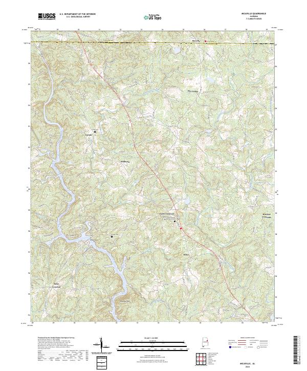
2024 Micaville
Randolph County, AL
2024 Napoleon
Randolph County, AL
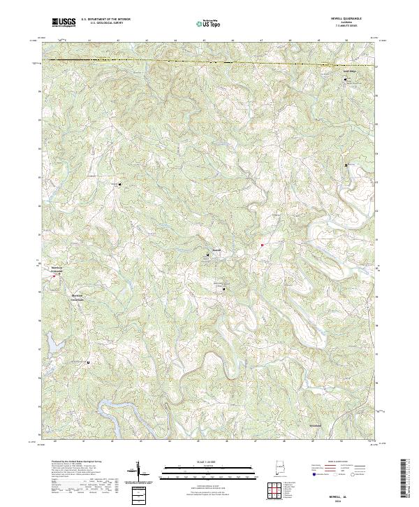
2024 Newell
Randolph County, AL
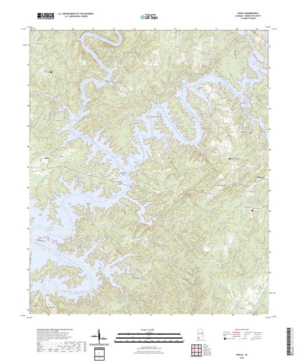
2024 Ofelia
Randolph County, AL
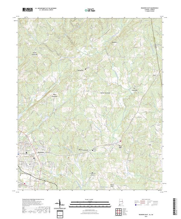
2024 Roanoke East
Randolph County, AL
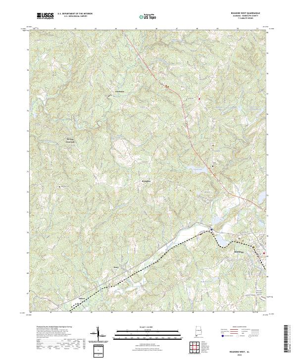
2024 Roanoke West
Randolph County, AL
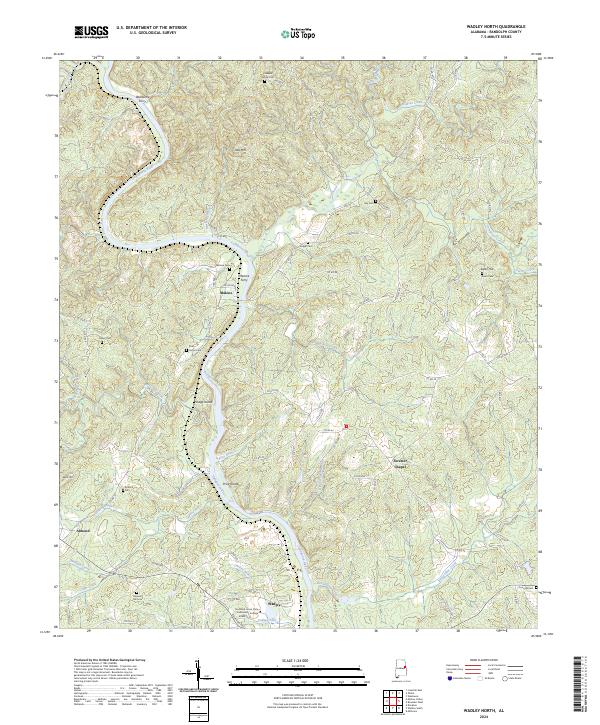
2024 Wadley North
Randolph County, AL