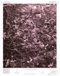
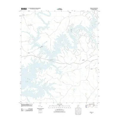
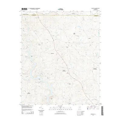
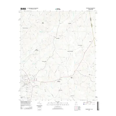
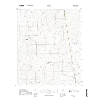
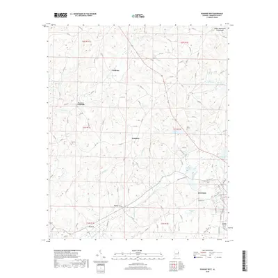
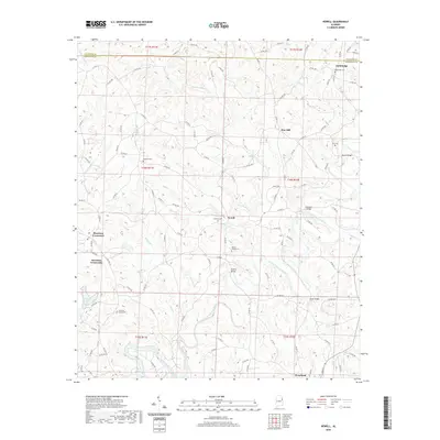
1975 Map of Newell
USGS Topo · Published 1977About this map
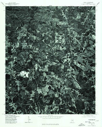
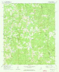
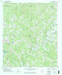
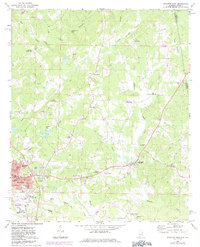
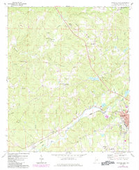
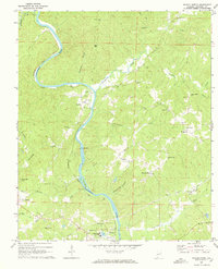
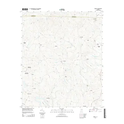
Little Tallapoosa River carves a deep, serpentine path through the landscape of eastern Alabama in this mid-1970s orthophotograph. The settlement at Newell serves as a central point in a region defined by a patchwork of small-scale agriculture and dense timberland. The orthophoto format, produced in cooperation with the Soil Conservation Service, reveals the specific land-use patterns of the era, from the winding rural routes connecting Morrison Crossroads to the clearing of fields and the preservation of riparian buffers along the river bends. This aerial perspective provides a literal view of the rural infrastructure and homestead placement near Woodland before modern development patterns altered the traditional agricultural footprint of the county.
Find a feature on this map
4 named features on this map. Tap any name to fly to it.
Don’t see what you’re looking for? This feature index may not catch every label — zoom into the map to look around manually.
Map Details
Editions of this 1975 Newell Map
This is the sole edition of this map. No revisions or reprints were ever made.
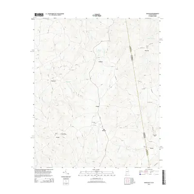
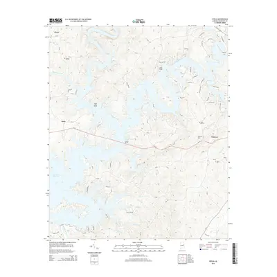
Historical Maps of Woodland Through Time
44 maps found
1969 Napoleon
Randolph County, AL
1969 Newell
Randolph County, AL
1969 Roanoke East
Randolph County, AL
1969 Roanoke West
Randolph County, AL
1969 Wadley North
Randolph County, AL
1970 Micaville
Randolph County, AL
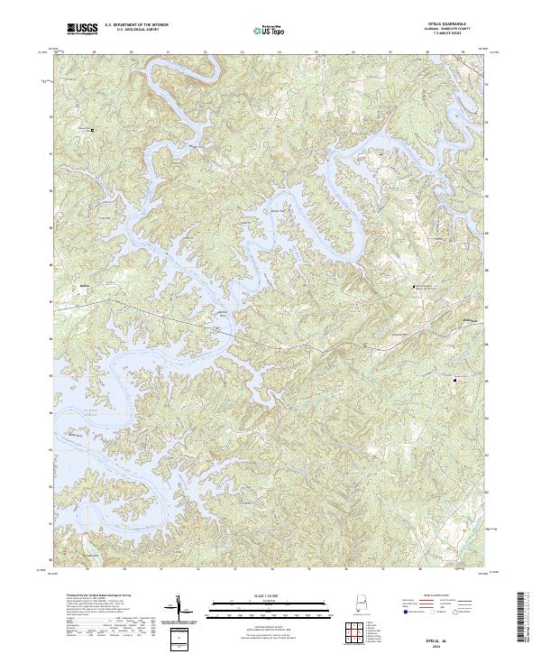
1970 Ofelia
Randolph County, AL
1975 Micaville
Randolph County, AL
1975 Newell
Randolph County, AL
2011 Micaville
Randolph County, AL
2011 Napoleon
Randolph County, AL
2011 Newell
Randolph County, AL
2011 Ofelia
Randolph County, AL
2011 Roanoke East
Randolph County, AL
2011 Roanoke West
Randolph County, AL
2011 Wadley North
Randolph County, AL
2014 Micaville
Randolph County, AL
2014 Napoleon
Randolph County, AL
2014 Newell
Randolph County, AL
2014 Ofelia
Randolph County, AL
2014 Roanoke East
Randolph County, AL
2014 Roanoke West
Randolph County, AL
2014 Wadley North
Randolph County, AL
2018 Micaville
Randolph County, AL
2018 Napoleon
Randolph County, AL
2018 Newell
Randolph County, AL
2018 Ofelia
Randolph County, AL
2018 Roanoke East
Randolph County, AL
2018 Roanoke West
Randolph County, AL
2018 Wadley North
Randolph County, AL
2020 Micaville
Randolph County, AL
2020 Napoleon
Randolph County, AL
2020 Newell
Randolph County, AL
2020 Ofelia
Randolph County, AL
2020 Roanoke East
Randolph County, AL
2020 Roanoke West
Randolph County, AL
2020 Wadley North
Randolph County, AL
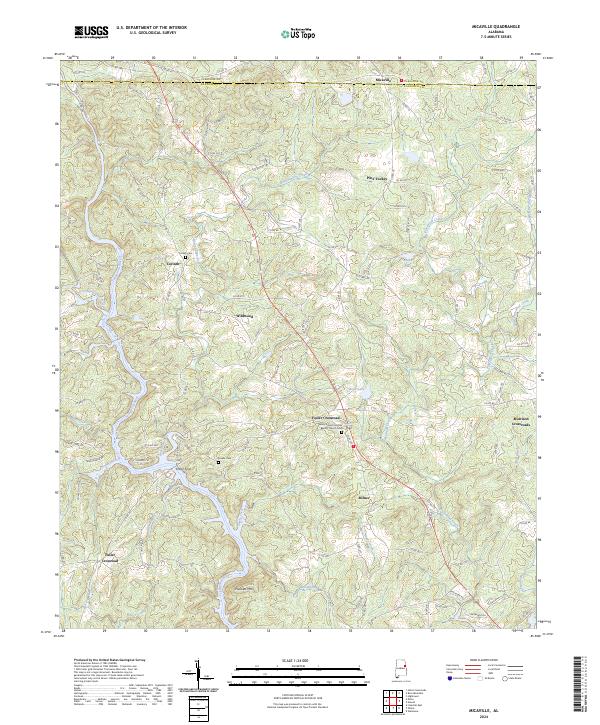
2024 Micaville
Randolph County, AL
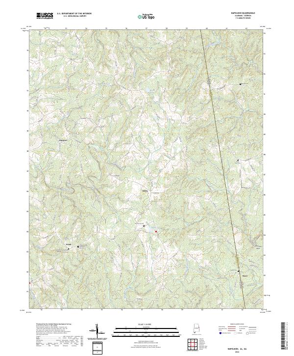
2024 Napoleon
Randolph County, AL
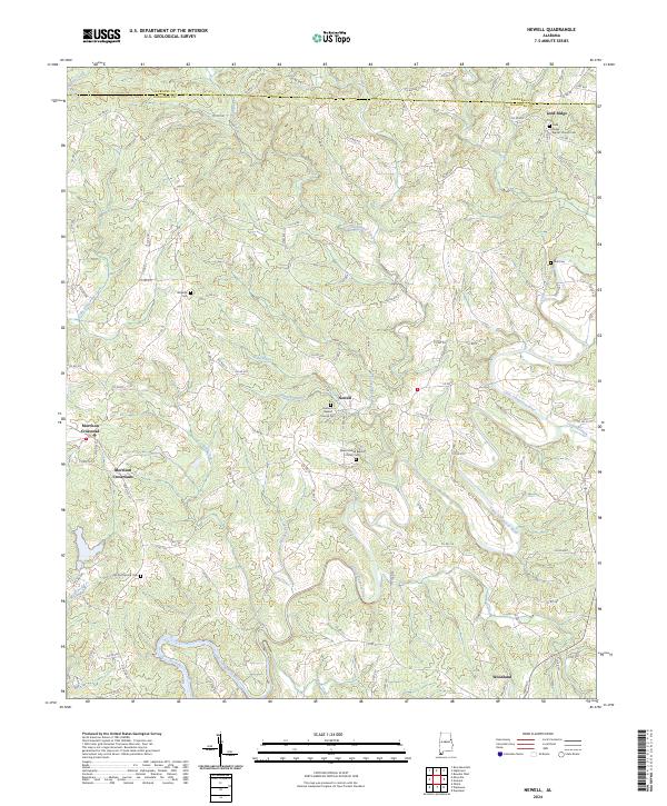
2024 Newell
Randolph County, AL
2024 Ofelia
Randolph County, AL
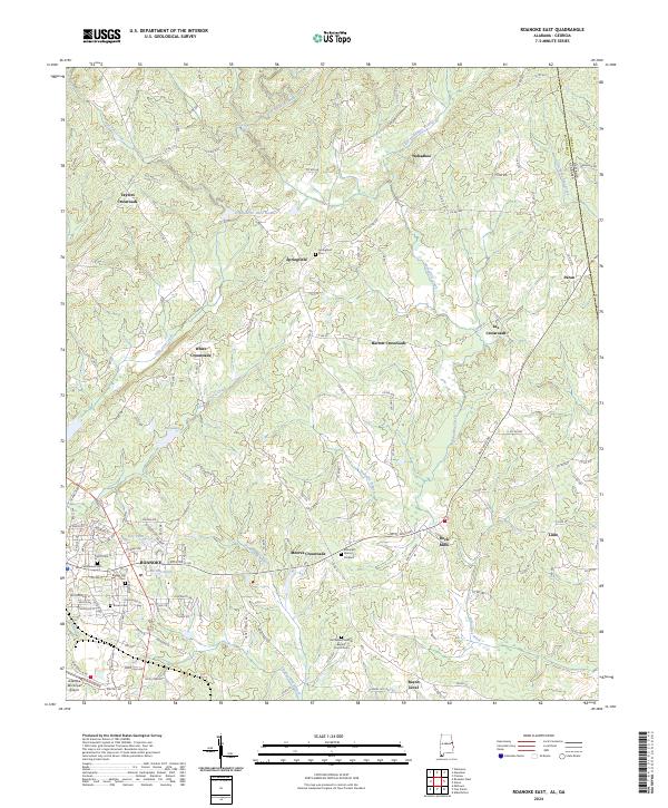
2024 Roanoke East
Randolph County, AL
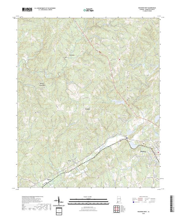
2024 Roanoke West
Randolph County, AL
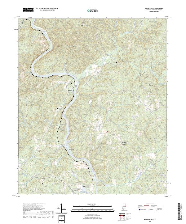
2024 Wadley North
Randolph County, AL