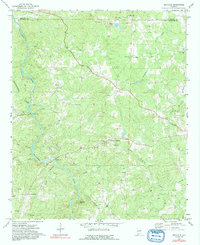
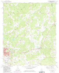
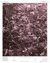
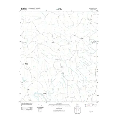
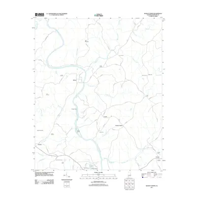
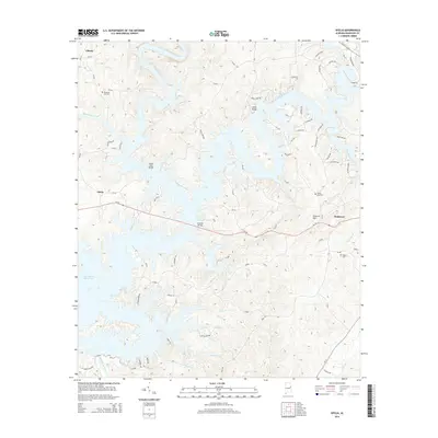
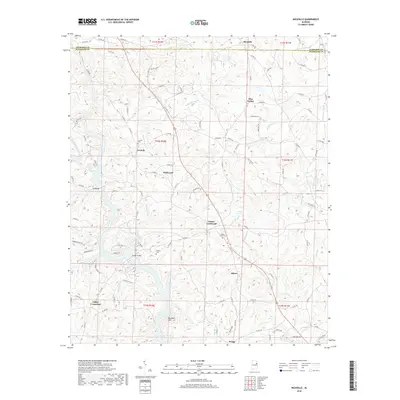
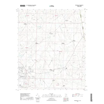
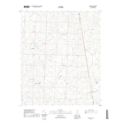
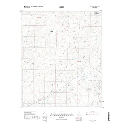
1970 Map of Micaville
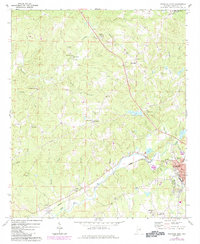
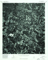
USGS Topo · Published 1991About this map
The Tallapoosa River flows through this corner of the Alabama Piedmont, forming the naturally winding boundary between Cleburne and Randolph counties. This 1970 landscape is defined by its small, dispersed rural settlements and a significant concentration of rural houses of worship, reflecting the deep-rooted community life of the area. Named crossings like Lee Bridge and Foster Bridge provide vital links over the river and its many tributaries, such as Ketchepedrakee Creek and Sandy Creek.
Find a feature on this map
41 named features on this map. Tap any name to fly to it.
Don’t see what you’re looking for? This feature index may not catch every label — zoom into the map to look around manually.
Map Details
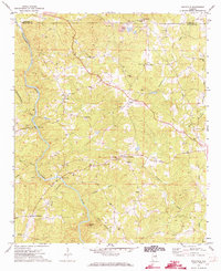
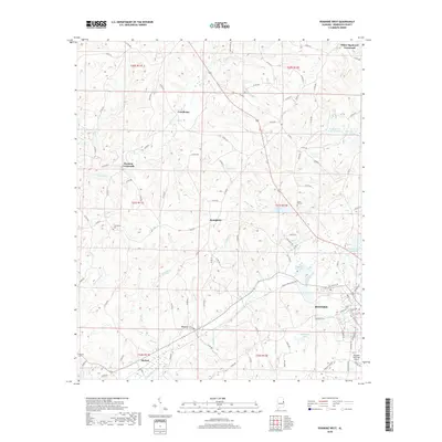
Editions of this 1970 Micaville Map
2 editions found
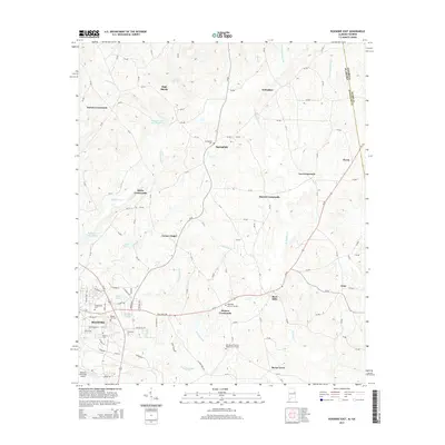
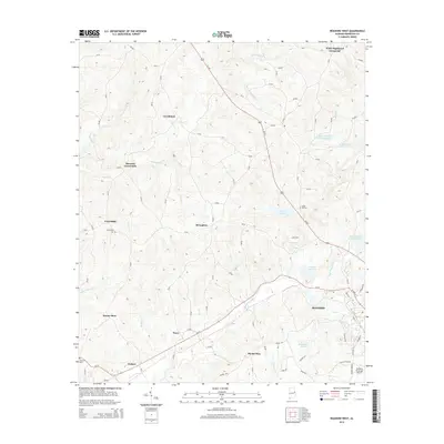
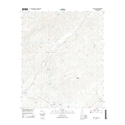
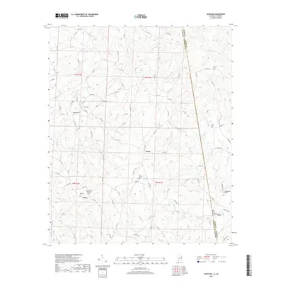
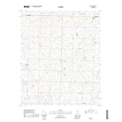
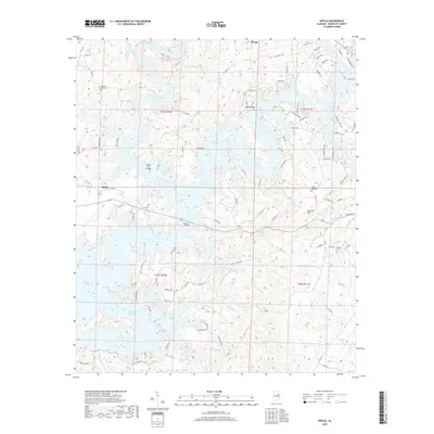
Historical Maps of Cedron Through Time
44 maps found
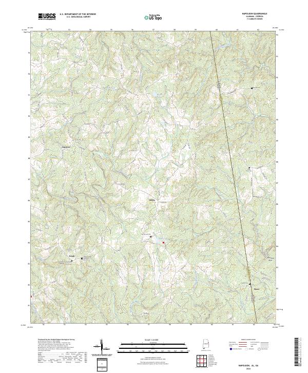
1969 Napoleon
Randolph County, AL
1969 Newell
Randolph County, AL
1969 Roanoke East
Randolph County, AL
1969 Roanoke West
Randolph County, AL
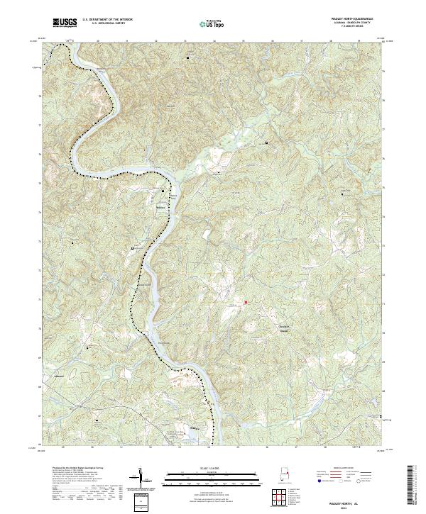
1969 Wadley North
Randolph County, AL
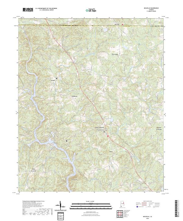
1970 Micaville
Randolph County, AL
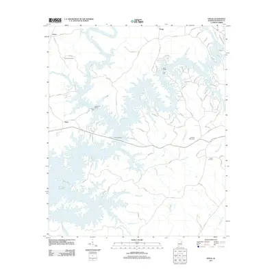
1970 Ofelia
Randolph County, AL
1975 Micaville
Randolph County, AL
1975 Newell
Randolph County, AL
2011 Micaville
Randolph County, AL
2011 Napoleon
Randolph County, AL
2011 Newell
Randolph County, AL
2011 Ofelia
Randolph County, AL
2011 Roanoke East
Randolph County, AL
2011 Roanoke West
Randolph County, AL
2011 Wadley North
Randolph County, AL
2014 Micaville
Randolph County, AL
2014 Napoleon
Randolph County, AL
2014 Newell
Randolph County, AL
2014 Ofelia
Randolph County, AL
2014 Roanoke East
Randolph County, AL
2014 Roanoke West
Randolph County, AL
2014 Wadley North
Randolph County, AL
2018 Micaville
Randolph County, AL
2018 Napoleon
Randolph County, AL
2018 Newell
Randolph County, AL
2018 Ofelia
Randolph County, AL
2018 Roanoke East
Randolph County, AL
2018 Roanoke West
Randolph County, AL
2018 Wadley North
Randolph County, AL
2020 Micaville
Randolph County, AL
2020 Napoleon
Randolph County, AL
2020 Newell
Randolph County, AL
2020 Ofelia
Randolph County, AL
2020 Roanoke East
Randolph County, AL
2020 Roanoke West
Randolph County, AL
2020 Wadley North
Randolph County, AL
2024 Micaville
Randolph County, AL
2024 Napoleon
Randolph County, AL
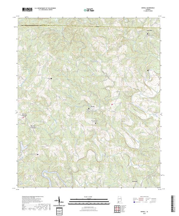
2024 Newell
Randolph County, AL
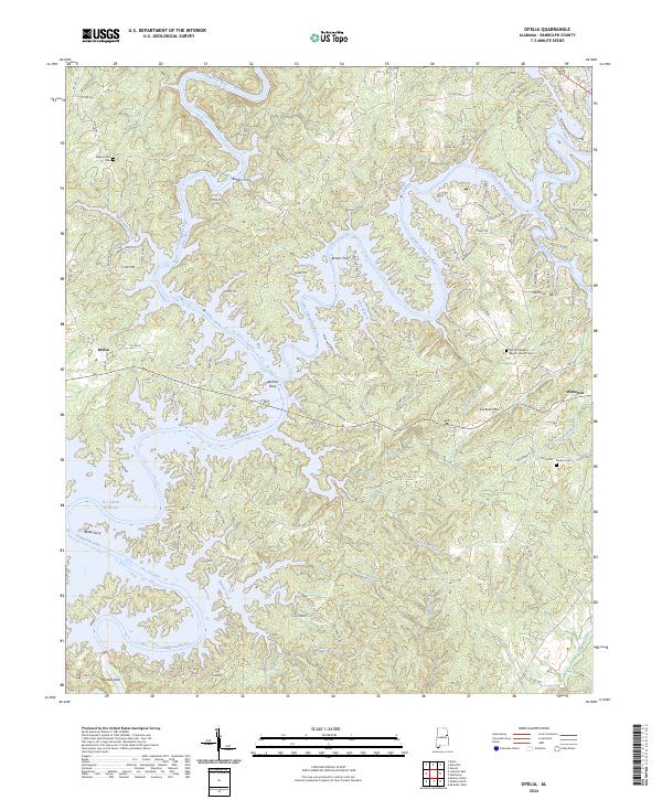
2024 Ofelia
Randolph County, AL
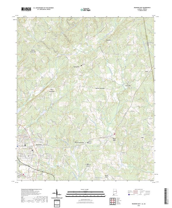
2024 Roanoke East
Randolph County, AL
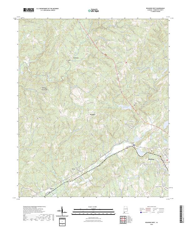
2024 Roanoke West
Randolph County, AL
2024 Wadley North
Randolph County, AL