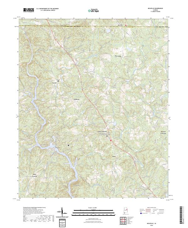
2024 Map of Micaville
USGS Topo · Published 2024About this map
The Tallapoosa River winds through the southwestern corner of this landscape, marking a terrain defined by ridges and creek valleys along the Cleburne and Randolph county line. The settlement pattern is characterized by numerous crossroads communities, including Foster Crossroad, Morrison Crossroads, and Fuller Crossroad, which likely served as local hubs for the surrounding farmsteads. For those researching family history, the map identifies key burial sites such as the Valley Grove Primitive Baptist Church Cem, Corinth Cem, and the family-named Fowler Cem. The network of backroads, such as Old US Hwy 431, connects established points like Micaville and Pine Tuckey to the physical geography of Plunkett Mtn and Buckhannon Creek. The abundance of minor waterways like Turpentine Still Branch and Ketchepedrakee Creek highlights the intricate drainage system that has historically shaped agricultural life in this part of Alabama.
Find a feature on this map
111 named features on this map. Tap any name to fly to it.
Don’t see what you’re looking for? This feature index may not catch every label — zoom into the map to look around manually.
Map Details
Editions of this 2024 Micaville Map
This is the sole edition of this map. No revisions or reprints were ever made.
Other maps of this area

1889 · Tallapoosa
USGS Topo · 1:125,000

1891 · Ashland
USGS Topo · 1:125,000

1892 · Tallapoosa
USGS Topo · 1:125,000

1897 · Tallapoosa
USGS Topo · 1:125,000

1899 · Wedowee
USGS Topo · 1:125,000

1900 · Anniston
USGS Topo · 1:125,000

1902 · Wedowee
USGS Topo · 1:125,000

1953 · Atlanta
USGS Topo · 1:250,000

1957 · Atlanta
USGS Topo · 1:250,000

1958 · Atlanta
USGS Topo · 1:250,000