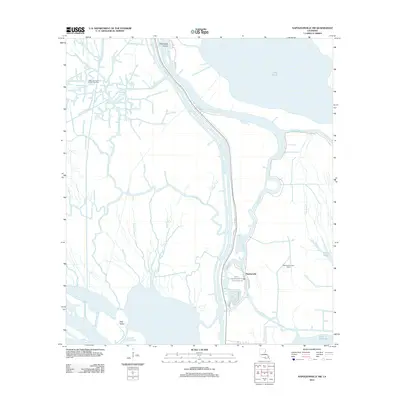
2012 Map of Napoleonville SW
USGS Topo · Published 2012About this map
Stephenville sits at the heart of this labyrinthine coastal landscape, where the terrestrial world begins to dissolve into the wetlands of southern Louisiana. The settlement is defined by its proximity to the Belle River and Bayou Long, reflecting a community deeply tied to the water. A massive network of waterways, including Big Fork Bayou, Bayou Cocodrie, and Bayou Magazille, crisscrosses the terrain, indicating a complex drainage system characteristic of the Atchafalaya Basin.
Find a feature on this map
35 named features on this map. Tap any name to fly to it.
Don’t see what you’re looking for? This feature index may not catch every label — zoom into the map to look around manually.
Map Details
Editions of this 2012 Napoleonville SW Map
This is the sole edition of this map. No revisions or reprints were ever made.
Other maps of this area

1935 · Morgan City
USGS Topo · 1:62,500

1941 · Belle Isle
USGS Topo · 1:62,500

1945 · New Orleans
USGS Topo · 1:250,000

1948 · Foster
USGS Topo · 1:62,500

1953 · Napoleonville
USGS Topo · 1:62,500

1954 · Morgan City
USGS Topo · 1:62,500

1954 · Belle Isle
USGS Topo · 1:62,500

1959 · Foster
USGS Topo · 1:62,500

1963 · New Orleans
USGS Topo · 1:250,000
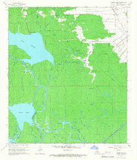
1965 · Grassy Lake
USGS Topo · 1:24,000