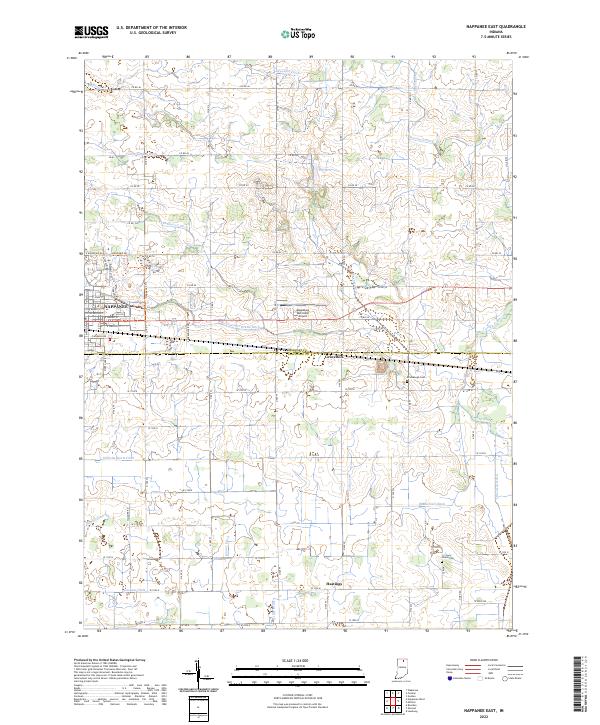
2022 Map of Nappanee East
USGS Topo · Published 2022About this map
Nappanee serves as the primary hub in this agricultural region along the Elkhart and Kosciusko County line. The landscape is defined by an intricate network of drainage systems such as Berlin Court Grand Ditch, Fisher-Gordon Ditch, and Dausman Ditch, which reflect the long-standing efforts to manage the wetlands of northern Indiana for productive farming. This intricate hydrography feeds into larger water bodies like Turkey Creek and Baugo Creek.
Find a feature on this map
54 named features on this map. Tap any name to fly to it.
Don’t see what you’re looking for? This feature index may not catch every label — zoom into the map to look around manually.
Map Details
Editions of this 2022 Nappanee East Map
This is the sole edition of this map. No revisions or reprints were ever made.
Historical Maps of Indiana Through Time
10 maps found
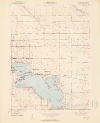
1951 Wawasee
Kosciusko County, IN
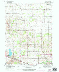
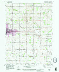
1958 Nappanee East
Kosciusko County, IN
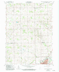
1959 Atwood
Kosciusko County, IN
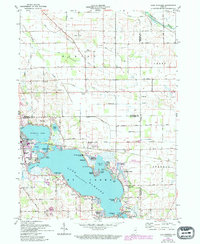
1961 Lake Wawasee
Kosciusko County, IN
1962 North Manchester North
Kosciusko County, IN
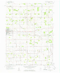
1992 Nappanee East
Kosciusko County, IN
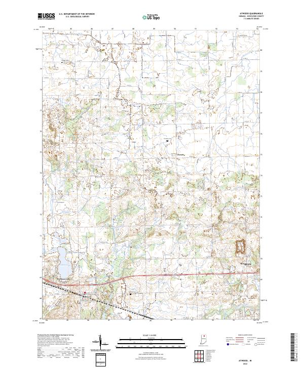
2022 Atwood
Kosciusko County, IN
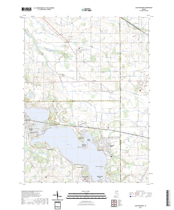
2022 Lake Wawasee
Kosciusko County, IN
2022 Nappanee East
Kosciusko County, IN
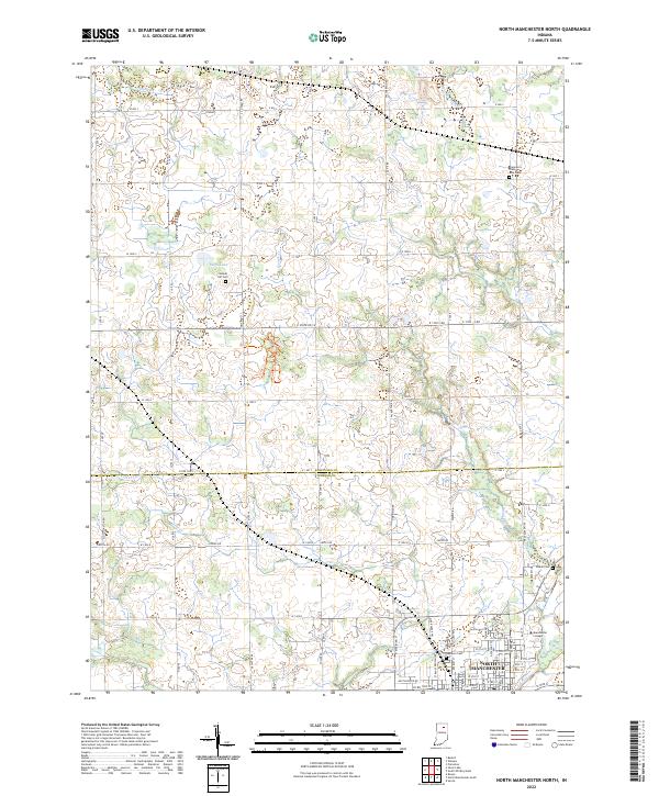
2022 North Manchester North
Kosciusko County, IN