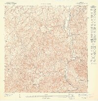
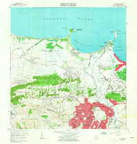
1947 Map of Naranjito NE
USGS Topo · Published 1947About this map
Agricultural colonias and steep drainage basins define this 1:10,000 scale survey of the terrain south of Colonia Santa Rosa. The landscape is dominated by the winding course of the Río Bayamón along the eastern boundary, where it meets the Río Guaynabo. Inland, the topographic detail reveals a network of ridges and ravines, including Cerro Gordo Arriba and Cerro de Vergara. The social fabric of the mid-1940s is anchored by local religious centers like the Iglesia de Minillas and Iglesia de Monserrate, while the presence of named estates such as Colonia Tió and Colonia Canto Gallo reflects the area's historical land tenure and rural settlement patterns. Numerous waterways, such as Quebrada Magueyes and Río Minillas, carve through the hillsides, illustrating the complex watershed of the region.
Find a feature on this map
20 named features on this map. Tap any name to fly to it.
Don’t see what you’re looking for? This feature index may not catch every label — zoom into the map to look around manually.
Map Details
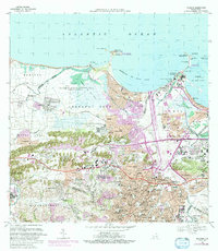
Editions of this 1947 Naranjito NE Map
This is the sole edition of this map. No revisions or reprints were ever made.
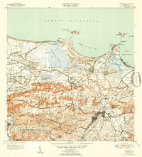
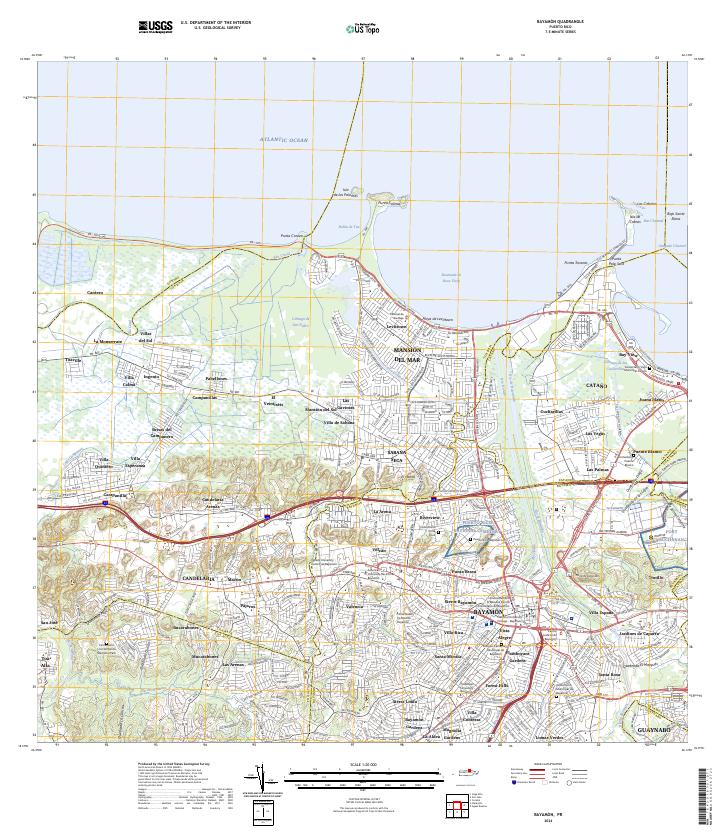
Historical Maps of Urb. Palacios del Lago Through Time
8 maps found

Featured Locations
- Reparto Villegas, Guaynabo
- Corea, Guaynabo
- Sector Pellín Ortega, Bayamón
- Sector María López, Bayamón
- Villas del Olimpo, Bayamón